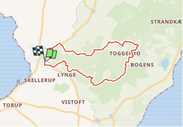

5 km | 5.8 km-effort

Tous les sentiers balisés d’Europe GUIDE+


FREE GPS app for hiking
 SityTrail
IGN / Geographical institutes
SityTrail World
The world is yours!
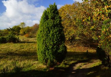
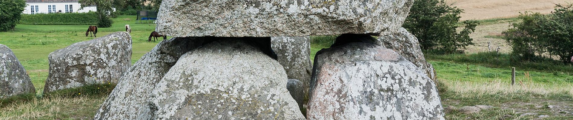
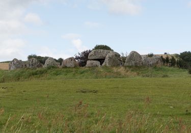
Trail On foot of 12.1 km to be discovered at Central Denmark Region. This trail is proposed by SityTrail - itinéraires balisés pédestres.
Symbol: Sort Kløver
Website: https://nationalparkmolsbjerge.dk/media/208764/kloeverstier-paa-mols_folder.pdf


On foot