


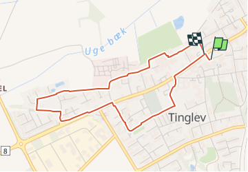

4.3 km | 4.6 km-effort


Tous les sentiers balisés d’Europe GUIDE+


FREE GPS app for hiking
 SityTrail
IGN / Geographical institutes
SityTrail World
The world is yours!
Trail On foot of 3.8 km to be discovered at Region of Southern Denmark. This trail is proposed by SityTrail - itinéraires balisés pédestres.
Trail created by Tinglev Forum.
marked as Tinglev vest sti - on posters and web called Tinglev Vest-Ruten
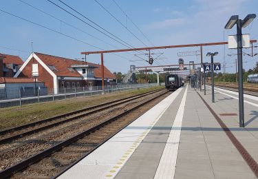
On foot
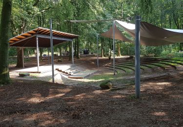
On foot

On foot