


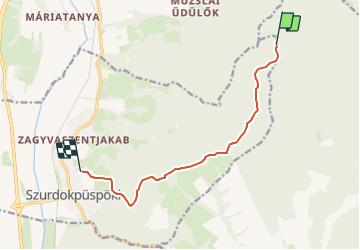

12.6 km | 22 km-effort

Tous les sentiers balisés d’Europe GUIDE+


FREE GPS app for hiking
 SityTrail
IGN / Geographical institutes
SityTrail World
The world is yours!
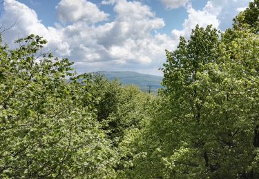
Trail On foot of 8.5 km to be discovered at Great Plain and North, Nógrád, Szurdokpüspöki. This trail is proposed by SityTrail - itinéraires balisés pédestres.
Folytatódik észak-kelet felé, együtt a P jelzéssel.
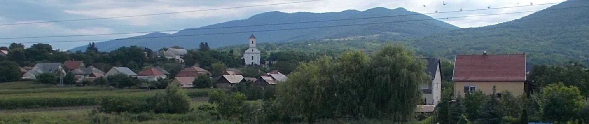
 - Photo 1")
On foot
On foot
On foot
On foot

On foot
On foot