


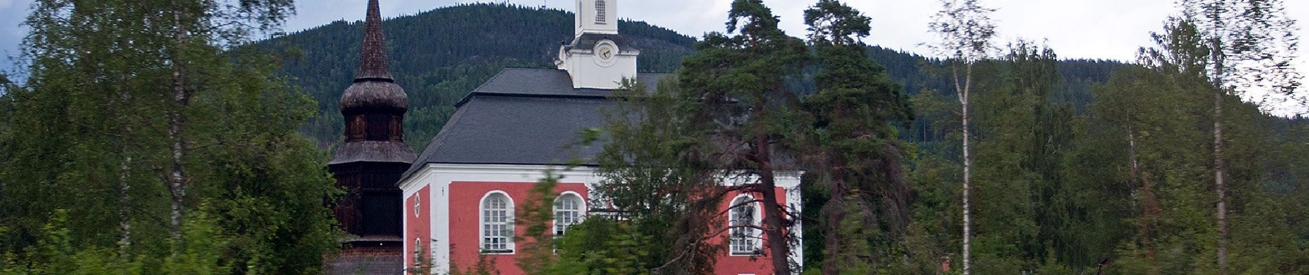
St. Olav's Path

SityTrail - itinéraires balisés pédestres
Tous les sentiers balisés d’Europe GUIDE+
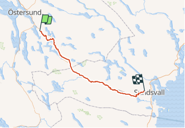

Length
179 km

Max alt
391 m

Uphill gradient
1692 m
Km-Effort
202 km

Min alt
9 m

Downhill gradient
1998 m
Boucle
No

Signpost
Creation date :
2022-02-21 11:20:14.281
Updated on :
2022-03-09 03:17:40.644
45h56
Difficulty : Very difficult

FREE GPS app for hiking
 SityTrail
IGN / Geographical institutes
SityTrail World
The world is yours!
About
Trail On foot of 179 km to be discovered at Jämtland County. This trail is proposed by SityTrail - itinéraires balisés pédestres.
Description
Symbol: red_cross
Photos


Positioning
Country:
Sweden
Region :
Jämtland County
Department/Province :
Unknown
Municipality :
Unknown
Location:
Unknown
Start:(Dec)
Start:(UTM)
498297 ; 6985292 (33V) N.
Comments
Trails nearby