


Drottningleden

SityTrail - itinéraires balisés pédestres
Tous les sentiers balisés d’Europe GUIDE+


Length
7.5 km

Max alt
825 m

Uphill gradient
294 m
Km-Effort
11.2 km

Min alt
553 m

Downhill gradient
228 m
Boucle
No

Signpost
Creation date :
2022-02-21 11:10:10.359
Updated on :
2022-03-09 02:10:21.996
2h33
Difficulty : Easy

FREE GPS app for hiking
 SityTrail
IGN / Geographical institutes
SityTrail World
The world is yours!
About
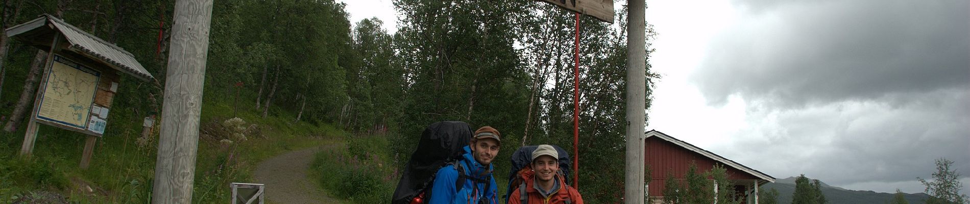
Trail On foot of 7.5 km to be discovered at Västerbotten County. This trail is proposed by SityTrail - itinéraires balisés pédestres.
Photos

Positioning
Country:
Sweden
Region :
Västerbotten County
Department/Province :
Unknown
Municipality :
Unknown
Location:
Unknown
Start:(Dec)
Start:(UTM)
504784 ; 7299288 (33W) N.
Comments
Trails nearby