11.3 km | 22 km-effort
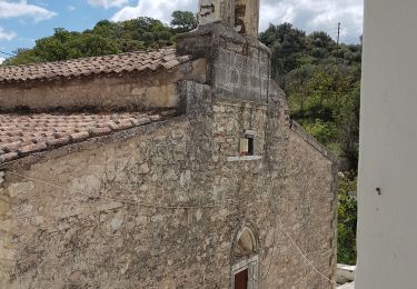
1a Monasty Vrondisi
SityTrail - itinéraires balisés pédestres
Tous les sentiers balisés d’Europe GUIDE+
Length
5.2 km
Max alt
562 m
Uphill gradient
185 m
Km-Effort
7.5 km
Min alt
394 m
Downhill gradient
133 m
Boucle
No
Signpost
Creation date :
2022-02-21 11:04:56.524
Updated on :
2022-03-09 01:53:25.159
1h42
Difficulty : Easy
FREE GPS app for hiking
About
Trail On foot of 5.2 km to be discovered at Region of Crete, Heraklion Regional Unit, Municipality of Zaros. This trail is proposed by SityTrail - itinéraires balisés pédestres.
Positioning
Country:
Greece
Region :
Region of Crete
Department/Province :
Heraklion Regional Unit
Municipality :
Municipality of Zaros
Location:
Unknown
Start:(Dec)
Start:(UTM)
309208 ; 3890719 (35S) N.
Comments
Trails nearby
Lac de Votomos à la chapelle d'Agios Loannis (rother n°44)
Walking
Difficult
Municipality of Zaros,
Region of Crete,
Heraklion Regional Unit,
Greece
3h 57min
Yes
Balade à Panagia (Rother n°45)
Walking
Medium
Municipality of Moronion,
Region of Crete,
Heraklion Regional Unit,
Greece
6.7 km | 9.5 km-effort
2h 9min
Yes
Agios Efthimios
On foot
Easy
Municipality of Zaros,
Region of Crete,
Heraklion Regional Unit,
Greece
4 km | 6.5 km-effort
1h 29min
No
Crète-Gorge de Rouwas 09-04-2018
Walking
Easy
Municipality of Zaros,
Region of Crete,
Heraklion Regional Unit,
Greece
11.7 km | 23 km-effort
3h 50min
Yes