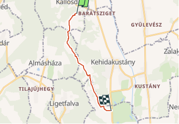

23 km | 26 km-effort

Tous les sentiers balisés d’Europe GUIDE+


FREE GPS app for hiking
 SityTrail
IGN / Geographical institutes
SityTrail World
The world is yours!
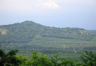
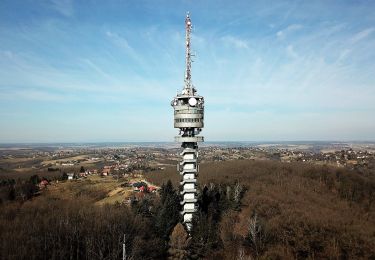
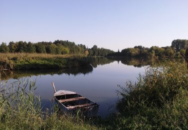
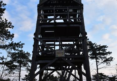
Trail On foot of 6.7 km to be discovered at Transdanubia, Zala, Kallósd. This trail is proposed by SityTrail - itinéraires balisés pédestres.
Túrázzunk együtt a koraszülöttekért!
Website: http://www.koraszulottalapitvany.hu/naptar/44/15-Maci-Kereső-Gyalogos-Túrasorozat-2.-szakasz


On foot
On foot