


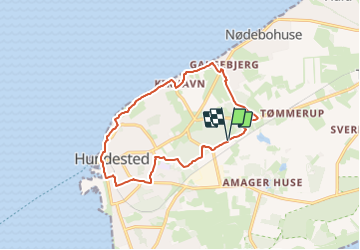

4.2 km | 4.5 km-effort


Tous les sentiers balisés d’Europe GUIDE+


FREE GPS app for hiking
 SityTrail
IGN / Geographical institutes
SityTrail World
The world is yours!
Trail On foot of 10.8 km to be discovered at Capital Region of Denmark. This trail is proposed by SityTrail - itinéraires balisés pédestres.
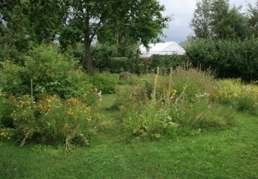
Denne natur- og aktivitetssti fører dig forbi skov og strand, mens du bliver klogere på områdets natur- og dyreliv.
Website: https://oplevhalsnaes.dk/naturen/sundhedskorridor-halsnaes

On foot