


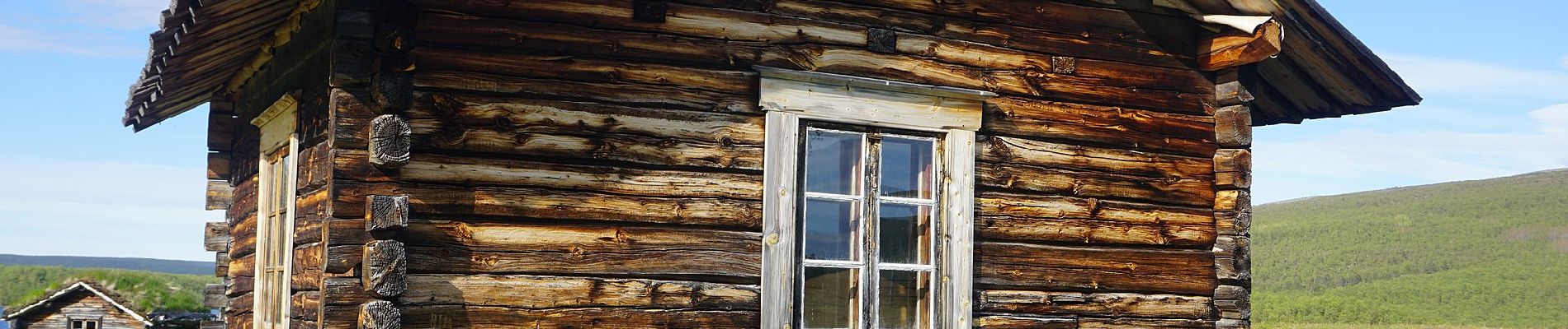
Utsjoen retkeilyreitti

SityTrail - itinéraires balisés pédestres
Tous les sentiers balisés d’Europe GUIDE+
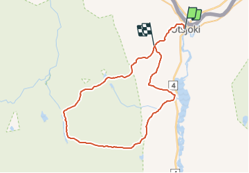

Length
32 km

Max alt
398 m

Uphill gradient
821 m
Km-Effort
42 km

Min alt
87 m

Downhill gradient
647 m
Boucle
No

Signpost
Creation date :
2022-02-21 10:45:02.805
Updated on :
2022-03-09 00:07:50.695
9h38
Difficulty : Very difficult

FREE GPS app for hiking
 SityTrail
IGN / Geographical institutes
SityTrail World
The world is yours!
About
Trail On foot of 32 km to be discovered at Unknown, Lapland, Utsjoki. This trail is proposed by SityTrail - itinéraires balisés pédestres.
Description
Reitit
Website: https://www.luontoon.fi/paistunturi/reitit
Photos


Positioning
Country:
Finland
Region :
Unknown
Department/Province :
Lapland
Municipality :
Utsjoki
Location:
Unknown
Start:(Dec)
Start:(UTM)
500903 ; 7755597 (35W) N.
Comments
Trails nearby