


8.4 km | 11.8 km-effort


Tous les sentiers balisés d’Europe GUIDE+


FREE GPS app for hiking
 SityTrail
IGN / Geographical institutes
SityTrail World
The world is yours!
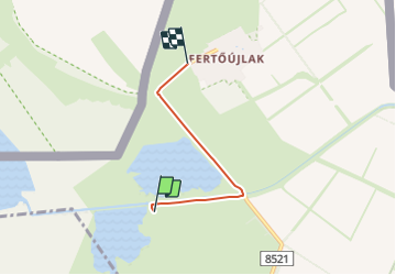
Trail On foot of 3.2 km to be discovered at Transdanubia, Győr-Moson-Sopron, Sarród. This trail is proposed by SityTrail - itinéraires balisés pédestres.
Trail created by Fertő-Hanság Nemzeti Park.
Website: https://www.ferto-hansag.hu/hu/okoturizmus/tanosvenyek/a-ferto-tajon.html


On foot

On foot


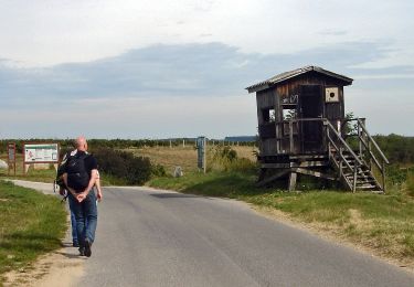

On foot

On foot
On foot