


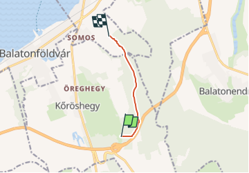

6.7 km | 8.3 km-effort

Tous les sentiers balisés d’Europe GUIDE+


FREE GPS app for hiking
 SityTrail
IGN / Geographical institutes
SityTrail World
The world is yours!
Trail On foot of 4.7 km to be discovered at Transdanubia, Somogy, Kőröshegy. This trail is proposed by SityTrail - itinéraires balisés pédestres.
Trail created by SMTSZ.
Website: http://smtsz.gportal.hu/gindex.php?pg=35356307&stid=49805
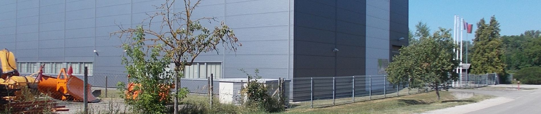
 - Photo 1")
 - Photo 2")

On foot