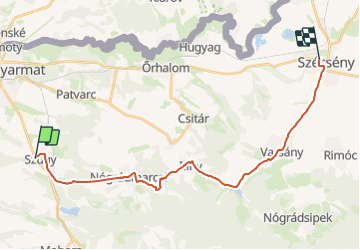

4.1 km | 5.6 km-effort


Tous les sentiers balisés d’Europe GUIDE+


FREE GPS app for hiking
 SityTrail
IGN / Geographical institutes
SityTrail World
The world is yours!
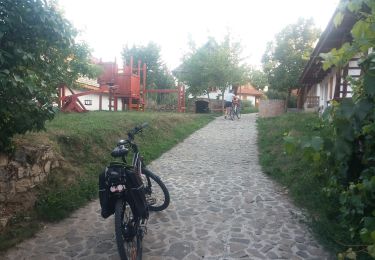
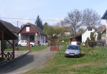
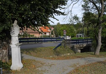
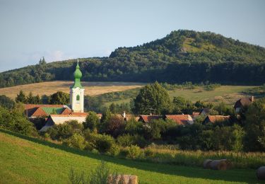
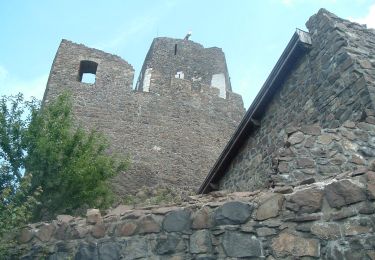
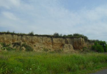
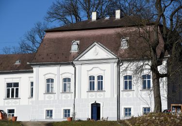
Trail On foot of 22 km to be discovered at Great Plain and North, Nógrád, Szügy. This trail is proposed by SityTrail - itinéraires balisés pédestres.
Trail created by MUTKE.
Symbol: purple m
Website: http://mariaut.hu


On foot
On foot
On foot
On foot
On foot