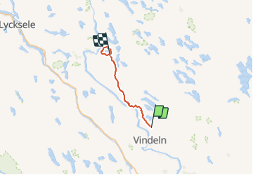

26 km | 32 km-effort

Tous les sentiers balisés d’Europe GUIDE+


FREE GPS app for hiking
 SityTrail
IGN / Geographical institutes
SityTrail World
The world is yours!
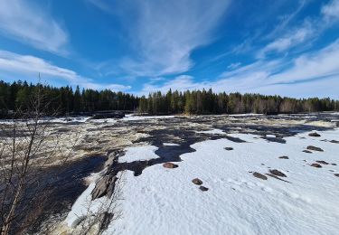
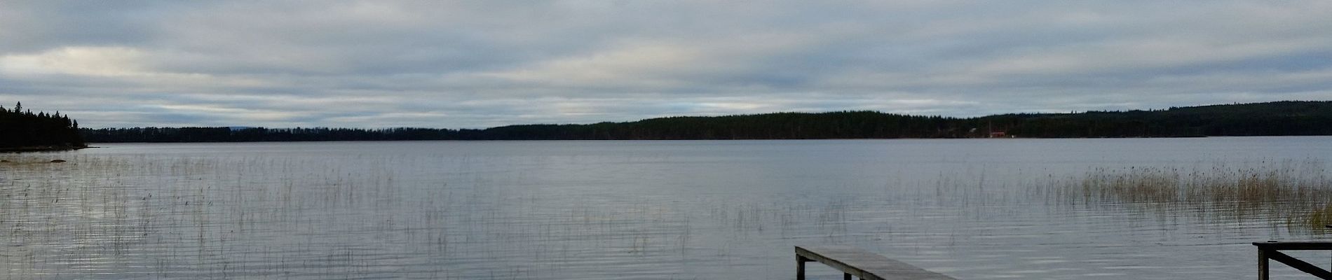
Trail On foot of 52 km to be discovered at Västerbotten County. This trail is proposed by SityTrail - itinéraires balisés pédestres.
Isälvsleden är en cirka 60 km lång vandringsled mellan samhället Vindeln och byn Åmsele i Västerbottens län. Leden sträcker sig genom ett fantastiskt ...
Website: http://isalvsleden.se/