


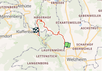

5.4 km | 7.2 km-effort


Tous les sentiers balisés d’Europe GUIDE+


FREE GPS app for hiking
 SityTrail
IGN / Geographical institutes
SityTrail World
The world is yours!
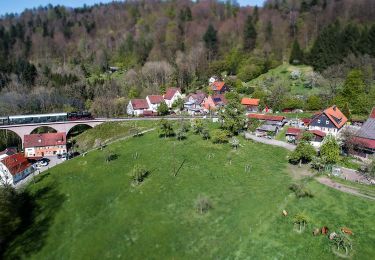
Trail On foot of 7.7 km to be discovered at Baden-Württemberg, Rems-Murr-Kreis, Welzheim. This trail is proposed by SityTrail - itinéraires balisés pédestres.
Trail created by Stadt Welzheim.
Symbol: weiße Fee und weiße Schrift Feenspuren auf grünem Quadrat
Website: https://www.feenspuren.de/drei-schluchten
On foot
On foot
On foot
On foot
On foot

On foot
On foot

On foot
On foot