10 km | 17.8 km-effort
Sils-Maria - Maloja - Isola - Sils-Maria
My Switzerland
Optez pour le retour à la nature GUIDE+
Length
16.8 km
Max alt
1928 m
Uphill gradient
445 m
Km-Effort
23 km
Min alt
1795 m
Downhill gradient
441 m
Boucle
No
Creation date :
2014-12-10 00:00:00.0
Updated on :
2014-12-10 00:00:00.0
--
Difficulty : Unknown
FREE GPS app for hiking
About
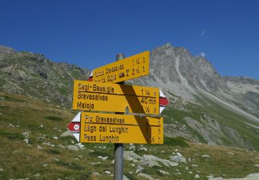
Trail Walking of 16.8 km to be discovered at Grisons, Maloja, Sils im Engadin/Segl. This trail is proposed by My Switzerland.
Positioning
Country:
Switzerland
Region :
Grisons
Department/Province :
Maloja
Municipality :
Sils im Engadin/Segl
Location:
Unknown
Start:(Dec)
Start:(UTM)
558834 ; 5142337 (32T) N.
Comments
Trails nearby
Julier, La Veduta-Furcia Grevasalvas-Plaun da Lej
On foot
Easy
Surses,
Grisons,
Albula,
Switzerland
4h 2min
No
y10_fuorcla-surlej
Other activity
Very easy
Silvaplana,
Grisons,
Maloja,
Switzerland
12.9 km | 17.8 km-effort
3h 35min
No
y10_silsersee
Other activity
Very easy
Sils im Engadin/Segl,
Grisons,
Maloja,
Switzerland
15.4 km | 22 km-effort
5h 15min
Yes
hike07
Walking
Very easy
Silvaplana,
Grisons,
Maloja,
Switzerland
9.4 km | 13.3 km-effort
Unknown
No
Bike9Bike32863
Mountain bike
Very easy
Sils im Engadin/Segl,
Grisons,
Maloja,
Switzerland
48 km | 71 km-effort
Unknown
No
Bike32862
Mountain bike
Very easy
Sils im Engadin/Segl,
Grisons,
Maloja,
Switzerland
99 km | 162 km-effort
Unknown
No
Muott Ota
Other activity
Very easy
Sils im Engadin/Segl,
Grisons,
Maloja,
Switzerland
12.1 km | 21 km-effort
Unknown
Yes
Piz Grevasalvas
Other activity
Very easy
Sils im Engadin/Segl,
Grisons,
Maloja,
Switzerland
11.6 km | 26 km-effort
Unknown
No
Fuorcla Lagrev
Other activity
Very easy
Surses,
Grisons,
Albula,
Switzerland
3.6 km | 10.9 km-effort
Unknown
No