


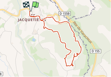

11.4 km | 17.4 km-effort

User


FREE GPS app for hiking
 SityTrail
IGN / Geographical institutes
SityTrail World
The world is yours!
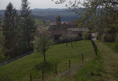
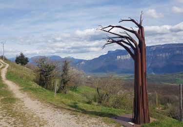
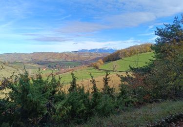
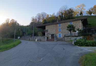
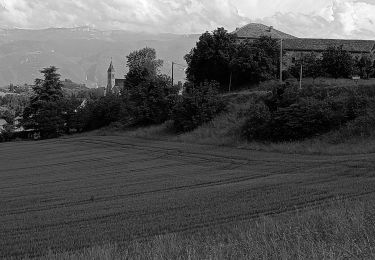
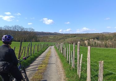
Trail Walking of 5.1 km to be discovered at Auvergne-Rhône-Alpes, Isère, Varacieux. This trail is proposed by crocau.
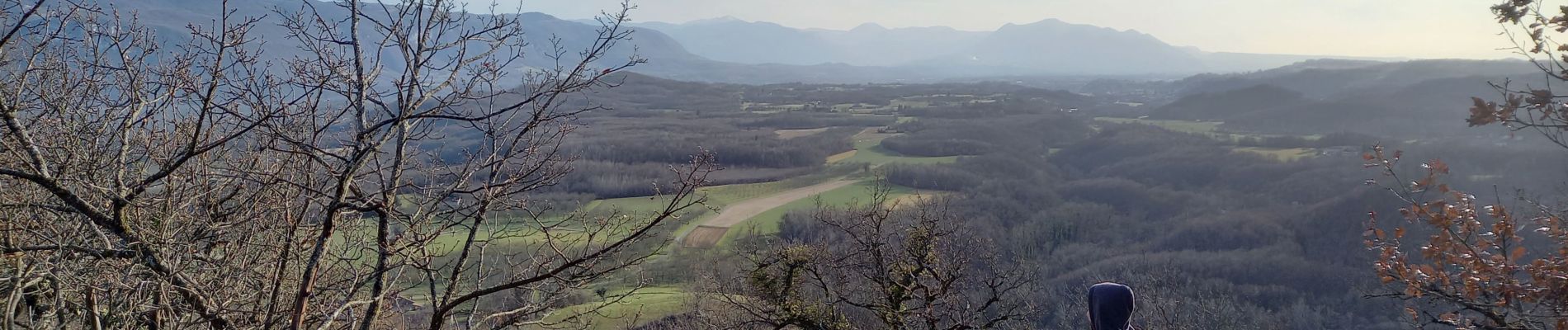
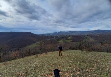
Rando sauvage qui emprunte très peu les chemins officiels mais permet d'atteindre le sommet du Mollard D'Essemat avec sa vue imprenable .


Walking
Walking
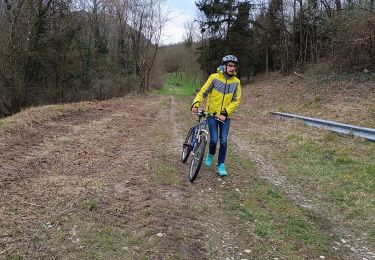
Mountain bike
Walking
Walking
Walking
Mountain bike
Walking
Mountain bike