


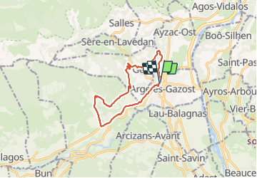

4.2 km | 6.8 km-effort


User GUIDE


FREE GPS app for hiking
 SityTrail
IGN / Geographical institutes
SityTrail World
The world is yours!
Trail Walking of 11.9 km to be discovered at Occitania, Hautespyrenees, Argelès-Gazost. This trail is proposed by LouisROGER.
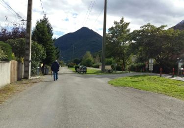
Montée progressive, un dernier coup de collier avant le pique nique avant le quartier des sources, descente rapide sur Arras en Lavedan en s'arrêtant pour les affichages du sentier pédagogique.
Arrêt à la librairie bistrot à Arras !!

Walking

Walking

Electric bike

Walking
Walking

Walking

Walking
Walking
Walking