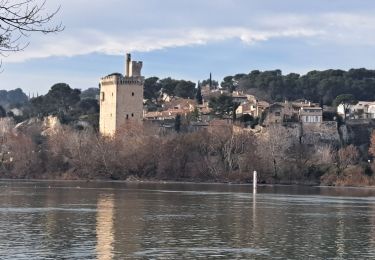
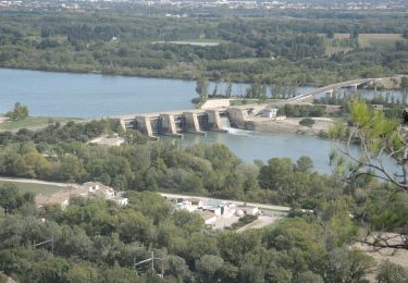
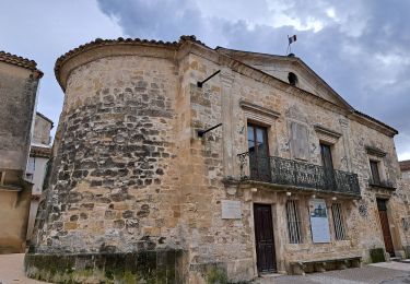
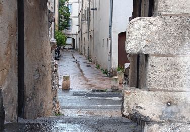
6.6 km | 8 km-effort
les angles covoit
jfd30
User
Length
6.7 km
Max alt
127 m
Uphill gradient
103 m
Km-Effort
8.1 km
Min alt
57 m
Downhill gradient
103 m
Boucle
Yes
Creation date :
2022-02-18 13:05:50.808
Updated on :
2022-02-18 14:54:57.136
1h48
Difficulty : Easy
FREE GPS app for hiking
About
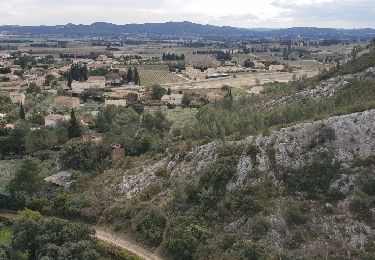
Trail Walking of 6.7 km to be discovered at Occitania, Gard, Les Angles. This trail is proposed by jfd30.
Positioning
Country:
France
Region :
Occitania
Department/Province :
Gard
Municipality :
Les Angles
Location:
Unknown
Start:(Dec)
Start:(UTM)
640146 ; 4868665 (31T) N.
Comments
Trails nearby
Ballade familliale autour des Eynavays et des falaises
Walking
Easy
(2)
Rochefort-du-Gard,
Occitania,
Gard,
France
2h 31min
Yes
ile de la Barthelasse
Walking
Easy
Avignon,
Provence-Alpes-Côte d'Azur,
Vaucluse,
France
13.6 km | 14.8 km-effort
3h 14min
Yes
ile de Barthelasse 1ere du top 10 des balades d Avignon... pauvres avignonais...
Walking
Very easy
Avignon,
Provence-Alpes-Côte d'Azur,
Vaucluse,
France
8.4 km | 9.2 km-effort
2h 15min
Yes
2024-08-24 Barthelasse - grand bosquet
Walking
Very difficult
Avignon,
Provence-Alpes-Côte d'Azur,
Vaucluse,
France
18.6 km | 20 km-effort
4h 21min
Yes
Autour de Rochefort du Gard
Walking
Medium
Rochefort-du-Gard,
Occitania,
Gard,
France
18.2 km | 22 km-effort
4h 52min
Yes
baguenaudage en Avignon
Walking
Very easy
Avignon,
Provence-Alpes-Côte d'Azur,
Vaucluse,
France
8.4 km | 9.4 km-effort
4h 8min
Yes
running hopital
Running
Very easy
(1)
Avignon,
Provence-Alpes-Côte d'Azur,
Vaucluse,
France
11.5 km | 12.4 km-effort
1h 5min
No
PF-Villeneuve-les-Avignon - Du chemin des Castors au chemin de Safrus
Walking
Medium
Villeneuve-lès-Avignon,
Occitania,
Gard,
France
17.2 km | 20 km-effort
4h 4min
Yes
Avant dernière étape
Bicycle tourism
Les Angles,
Occitania,
Gard,
France
39 km | 44 km-effort
3h 47min
No