


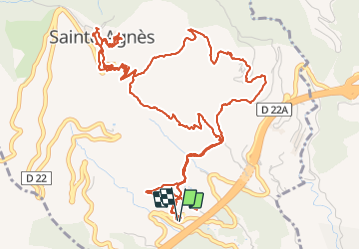

8.1 km | 14.4 km-effort

User


FREE GPS app for hiking
 SityTrail
IGN / Geographical institutes
SityTrail World
The world is yours!
Trail Walking of 9.3 km to be discovered at Provence-Alpes-Côte d'Azur, Maritime Alps, Sainte-Agnès. This trail is proposed by GrouGary.
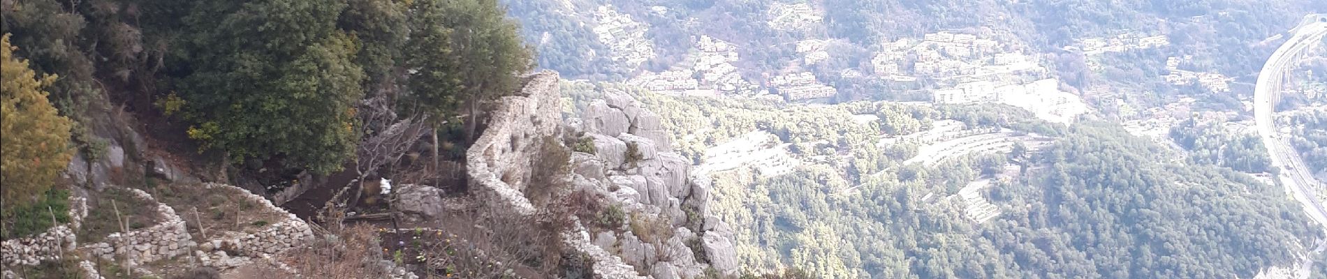
Sentier des collines en travaux momentanément. Belle boucle mais dommage pour le bruit de l'autoroute.
montée par sentier Pisa, retour sentier Vivaron


Walking

Walking

Walking
Walking

Walking

Walking

Walking
Walking

Walking