


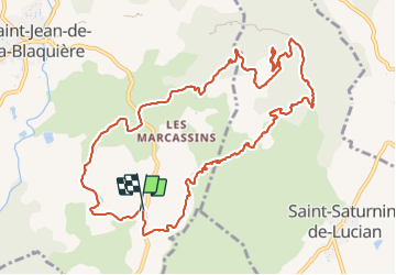


5.7 km | 7.9 km-effort

User


FREE GPS app for hiking
 SityTrail
IGN / Geographical institutes
SityTrail World
The world is yours!
Trail Walking of 13.5 km to be discovered at Occitania, Hérault, Saint-Jean-de-la-Blaquière. This trail is proposed by PiloudeBamako.
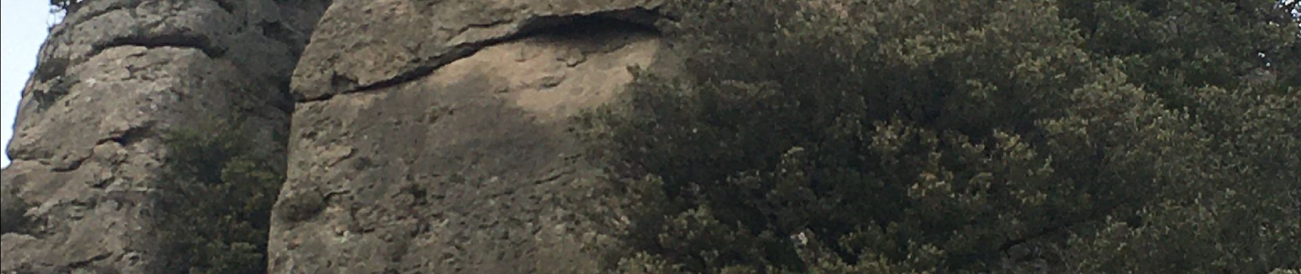
Après avoir accédé au Rocher des Vierges, retour par les superbes paysages des ruffles rouges. Bien suivre le tracé car les canyons peuvent être profonds. Pas de difficulté significative en restant sur la trace qui permet de rejoindre et de suivre le ruisseau.


39 photos in total. Please click on a photo to see them all in the gallery.

Walking

Walking

Walking

Walking

Walking
Walking

Walking

Walking

Walking