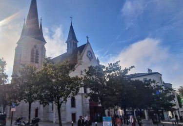
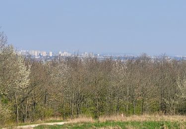
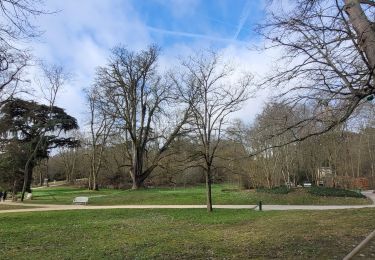
11.9 km | 14 km-effort
Chatenay Malabry
PatRando
User
Length
11 km
Max alt
172 m
Uphill gradient
215 m
Km-Effort
13.8 km
Min alt
72 m
Downhill gradient
203 m
Boucle
No
Creation date :
2016-12-17 00:00:00.0
Updated on :
2016-12-17 00:00:00.0
2h57
Difficulty : Very easy
FREE GPS app for hiking
About
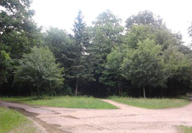
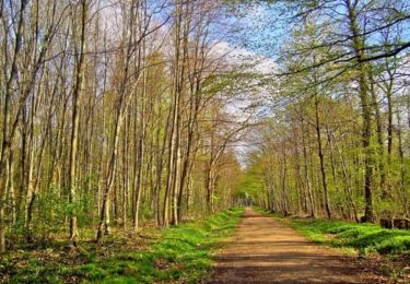
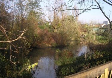
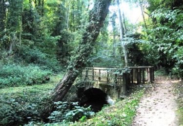
Trail Walking of 11 km to be discovered at Ile-de-France, Hauts-de-Seine, Châtenay-Malabry. This trail is proposed by PatRando.
Description
La Vallée aux Loups
Positioning
Country:
France
Region :
Ile-de-France
Department/Province :
Hauts-de-Seine
Municipality :
Châtenay-Malabry
Location:
Unknown
Start:(Dec)
Start:(UTM)
446272 ; 5402284 (31U) N.
Comments
Trails nearby
Sur les sentiers de découverte du Bois de Verrières
Walking
Medium
(2)
Verrières-le-Buisson,
Ile-de-France,
Essonne,
France
22 km | 27 km-effort
4h 40min
Yes
Les Hauts de Bièvre
Walking
Difficult
(2)
Sceaux,
Ile-de-France,
Hauts-de-Seine,
France
25 km | 30 km-effort
6h 0min
Yes
Autour de Bièvres
Walking
Medium
(4)
Bièvres,
Ile-de-France,
Essonne,
France
7.6 km | 9.4 km-effort
2h 30min
Yes
tour du plateau de Saclay V2
Walking
Very difficult
(1)
Igny,
Ile-de-France,
Essonne,
France
21 km | 25 km-effort
5h 36min
Yes
Rando des 3 Parcs ! (des Gares RER)
Walking
Very difficult
(2)
Fontenay-aux-Roses,
Ile-de-France,
Hauts-de-Seine,
France
15.9 km | 19.5 km-effort
4h 26min
No
Boucle autour du parc de Sceaux
Walking
Very easy
Sceaux,
Ile-de-France,
Hauts-de-Seine,
France
19 km | 23 km-effort
4h 24min
Yes
Boucle autour de Verrières le Buisson
Walking
Medium
Verrières-le-Buisson,
Ile-de-France,
Essonne,
France
25 km | 31 km-effort
5h 22min
Yes
Boucle Antony - Chatenay - Igny - Bièvres
Walking
Easy
Antony,
Ile-de-France,
Hauts-de-Seine,
France
24 km | 30 km-effort
5h 31min
Yes