


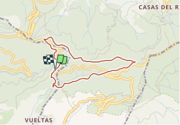

10.8 km | 21 km-effort


Tous les sentiers balisés d’Europe GUIDE+


FREE GPS app for hiking
 SityTrail
IGN / Geographical institutes
SityTrail World
The world is yours!
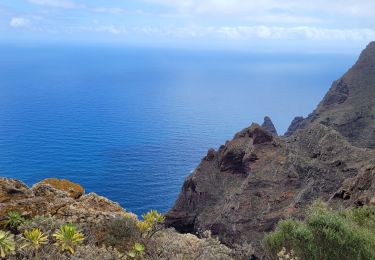
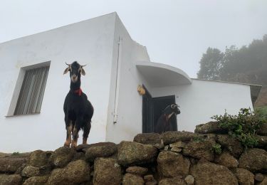
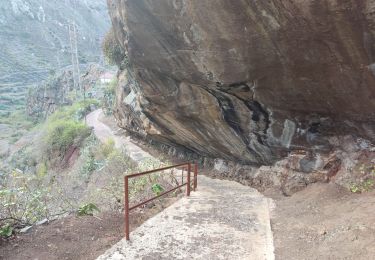
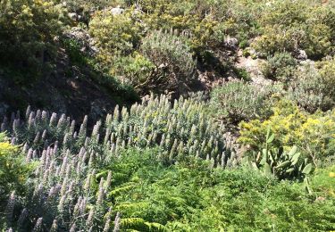
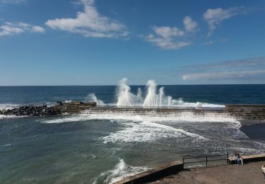
Trail On foot of 4.5 km to be discovered at Canary Islands, Santa Cruz de Tenerife, Tegueste. This trail is proposed by SityTrail - itinéraires balisés pédestres.
Trail created by Cabildo Insular de Tenerife.


Walking
On foot
On foot
Walking
Walking
Walking
On foot
Walking

Walking
mooie wandeling onder de bomen, lekker koel. Klein klimmetje op het eind.