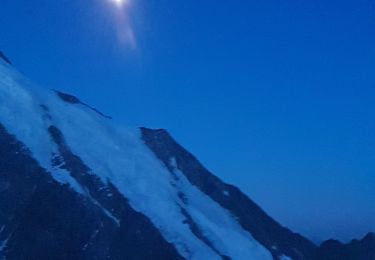
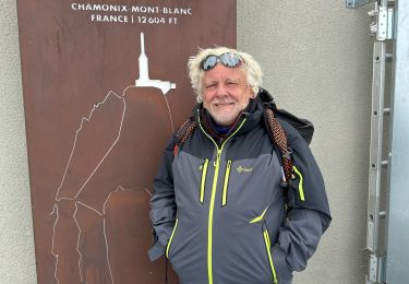
Trail On foot Courmayeur - The Three Monts - Photo

Tous les sentiers balisés d’Europe GUIDE+

© OpenStreetMap contributors
Length
Length
7 km
Max alt
Max alt
4736 m
Uphill gradient
Uphill gradient
426 m
Km-Effort
Km-Effort  
15.8 km
Min alt
Min alt
3513 m
Downhill gradient
Downhill gradient
1371 m
Boucle
Boucle
No
Signpost
Signpost
Creation date :
2022-02-17 10:56:02.59
Updated on :
2022-03-02 01:37:28.064

(0 Reviews)

On foot
On foot
3h36
Difficulty : Easy

Scan this QR Code to open this trail in the SityTrail application

FREE GPS app for hiking

Logo SityTrail SityTrail

IGN / Geographical institutes

Download SityTrail from the App Store Download SityTrail from Google Play

Logo SityTrail SityTrail World

The world is yours!

Download SityTrail from the App Store Download SityTrail from Google Play Download SityTrail on Huawei AppGallery

About

Trail On foot of 7 km to be discovered at Aosta Valley, Unknown, Courmayeur. This trail is proposed by SityTrail - itinéraires balisés pédestres.

Elevation profile

Photos

Positioning

Country:
Italy
Region :
Aosta Valley
Department/Province :
Unknown
Municipality :
Courmayeur
Location:
Unknown
Start:(UTM)
334256 ; 5077807 (32T) N.

Trails nearby

Trail Walking Saint-Gervais-les-Bains - ascension du mont Blanc depuis tête rousse - Photo
Walking
tyax93

Walking

Difficult
Saint-Gervais-les-Bains, Auvergne-Rhône-Alpes, Upper Savoy, France
7.9 km | 26 km-effort
7h 45min
No
Trail Walking Saint-Gervais-les-Bains - Bellevue refuge Tête Rousse  - Photo
Walking
chuck91

Walking

Difficult
Saint-Gervais-les-Bains, Auvergne-Rhône-Alpes, Upper Savoy, France
8.8 km | 14.3 km-effort
3h 25min
No
Trail Touring skiing Chamonix-Mont-Blanc - grands mulets, Mont Blanc  - Photo
Touring skiing
Michel Jovet

Touring skiing

Very easy
Chamonix-Mont-Blanc, Auvergne-Rhône-Alpes, Upper Savoy, France
21 km | 53 km-effort
10h 23min
No
Trail Walking Saint-Gervais-les-Bains - CHAMONIX (Mont-Blanc) - Photo
Walking
GerardBouche

Walking

Very difficult
Saint-Gervais-les-Bains, Auvergne-Rhône-Alpes, Upper Savoy, France
3.7 km | 15.3 km-effort
3h 18min
No
Trail Other activity Courmayeur - youla puis hors piste face sud mont blanc - Photo
Other activity
diskatorat

Other activity

Very difficult
Courmayeur, Aosta Valley, Unknown, Italy
9.5 km | 25 km-effort
31min
No
Trail Walking Chamonix-Mont-Blanc - Mont-Blanc par les 3 Monts - Photo
Walking
tracegps

Walking

Difficult
(2)
Chamonix-Mont-Blanc, Auvergne-Rhône-Alpes, Upper Savoy, France
13.9 km | 38 km-effort
6h 0min
No
Trail Winter sports Chamonix-Mont-Blanc - Vallée Blanche - Photo
Winter sports
pawenger

Winter sports

Very easy
(2)
Chamonix-Mont-Blanc, Auvergne-Rhône-Alpes, Upper Savoy, France
18 km | 27 km-effort
6h 13min
No
Trail sport Chamonix-Mont-Blanc - Aiguille du Midi - Photo
sport
ezola

sport

Very easy
Chamonix-Mont-Blanc, Auvergne-Rhône-Alpes, Upper Savoy, France
1.5 km | 2.4 km-effort
Unknown
Yes
Trail Walking Chamonix-Mont-Blanc - mont blanc - Photo
Walking
bellocq

Walking

Very difficult
Chamonix-Mont-Blanc, Auvergne-Rhône-Alpes, Upper Savoy, France
21 km | 65 km-effort
12h 15min
No


Close
My subscriptions