


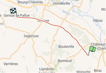

7.7 km | 9.1 km-effort


Tous les sentiers balisés d’Europe GUIDE+


FREE GPS app for hiking
 SityTrail
IGN / Geographical institutes
SityTrail World
The world is yours!
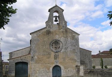
Trail On foot of 15.6 km to be discovered at New Aquitaine, Charente, Bellevigne. This trail is proposed by SityTrail - itinéraires balisés pédestres.
Périgueux > Saintes
Website: http://itineraires-romains-en-france.pagesperso-orange.fr/templates/vr28.htm


Walking
Walking
Cycle

Cycle
Cycle

Other activity

Walking
Walking
Walking