


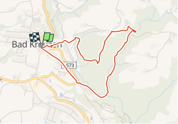

3.1 km | 4.1 km-effort


Tous les sentiers balisés d’Europe GUIDE+


FREE GPS app for hiking
 SityTrail
IGN / Geographical institutes
SityTrail World
The world is yours!
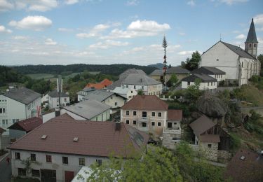
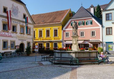
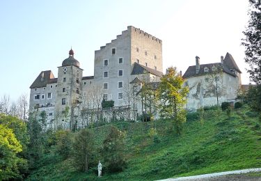
Trail On foot of 4.1 km to be discovered at Upper Austria, Bezirk Perg, Bad Kreuzen. This trail is proposed by SityTrail - itinéraires balisés pédestres.
Trail created by Tourismusverein Bad Kreuzen.
https://www.donauregion.at/linz-grein/bad-kreuzen/oesterreich-tour/detail/430001587/kneipp-weg.html


On foot

On foot
On foot
On foot
On foot
On foot
On foot

Bicycle tourism
Bicycle tourism