


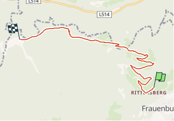

4.9 km | 16.5 km-effort


Tous les sentiers balisés d’Europe GUIDE+


FREE GPS app for hiking
 SityTrail
IGN / Geographical institutes
SityTrail World
The world is yours!
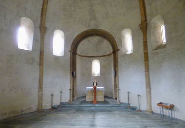
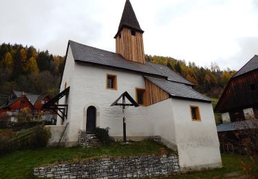
Trail On foot of 7.4 km to be discovered at Styria, Bezirk Murtal, Unzmarkt-Frauenburg. This trail is proposed by SityTrail - itinéraires balisés pédestres.
Trail created by TVN/ÖAV Jdbg..
Symbol: blau-weiß


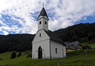
On foot
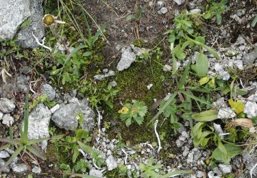
On foot
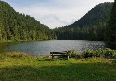
On foot

On foot
On foot
On foot
