


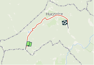

6.5 km | 11.6 km-effort


Tous les sentiers balisés d’Europe GUIDE+


FREE GPS app for hiking
 SityTrail
IGN / Geographical institutes
SityTrail World
The world is yours!
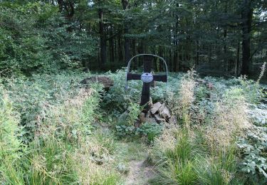
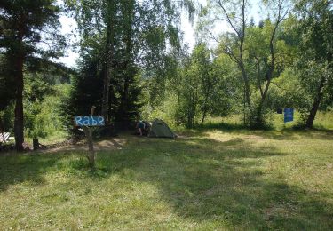
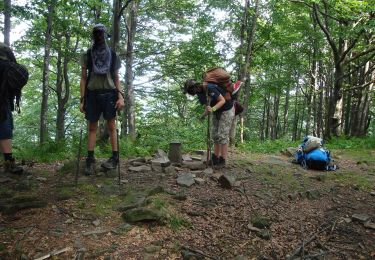
Trail On foot of 3.7 km to be discovered at Subcarpathian Voivodeship, Lesko County, Rabe. This trail is proposed by SityTrail - itinéraires balisés pédestres.
Trail created by Nadleśnictwo Baligród.
Website: http://www.czaswlas.pl/obiekty/?p=4&id_obiekt=8167
On foot
On foot
On foot