


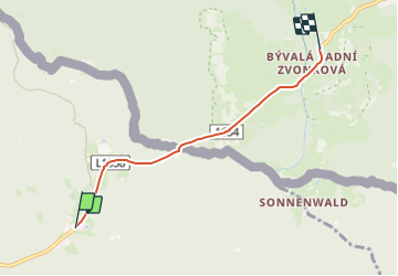

7.4 km | 9.1 km-effort

Tous les sentiers balisés d’Europe GUIDE+


FREE GPS app for hiking
 SityTrail
IGN / Geographical institutes
SityTrail World
The world is yours!
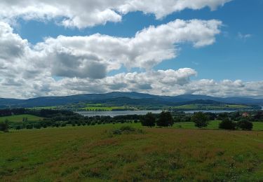
Trail On foot of 3.9 km to be discovered at Upper Austria, Bezirk Rohrbach, Ulrichsberg. This trail is proposed by SityTrail - itinéraires balisés pédestres.
Trail created by Alpenverein.


On foot
On foot
On foot
On foot
![Trail On foot Loučovice - [Ž] Kapličky - Mnichovice - Photo](https://media.geolcdn.com/t/375/260/1772f7d3-364c-4f12-bb68-2d31ffa4b776.jpeg&format=jpg&maxdim=2)
On foot
![Trail On foot Hořice na Šumavě - [Ž] Muckov - Hořice na Šumavě - Photo](https://media.geolcdn.com/t/375/260/bf242f83-f54e-415b-9f70-5c4528c11631.jpeg&format=jpg&maxdim=2)
On foot
On foot
On foot
On foot