


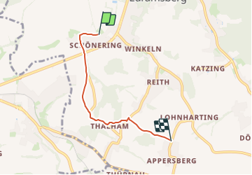

6.6 km | 9.4 km-effort


Tous les sentiers balisés d’Europe GUIDE+


FREE GPS app for hiking
 SityTrail
IGN / Geographical institutes
SityTrail World
The world is yours!
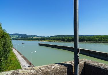
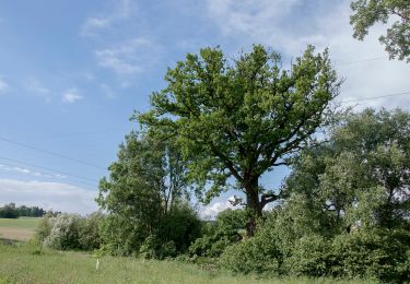
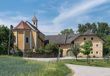
Trail On foot of 3.6 km to be discovered at Upper Austria, Bezirk Linz-Land, Wilhering. This trail is proposed by SityTrail - itinéraires balisés pédestres.
Symbol: Edelstahlplatte mit gelber Beschriftung der nächsten Ziele, Wanderer und Kleine Pfeile


On foot

On foot
On foot
On foot

On foot
On foot
On foot
On foot
On foot