


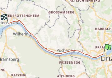

4.7 km | 8 km-effort

Tous les sentiers balisés d’Europe GUIDE+


FREE GPS app for hiking
 SityTrail
IGN / Geographical institutes
SityTrail World
The world is yours!
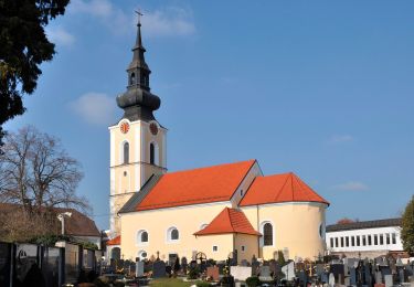
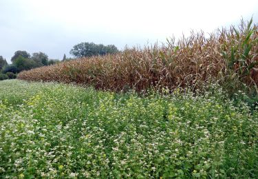
Trail On foot of 9.4 km to be discovered at Upper Austria, Linz. This trail is proposed by SityTrail - itinéraires balisés pédestres.
Symbol: gelber Hinweispfeil mit schwarzem Text "1 Treppelweg" oder nur "1" oder auch mit Ortsangaben wie Urfahr, Puchenau, Ottensheim


On foot

On foot
On foot
On foot

On foot

On foot
On foot

On foot