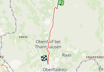

10.2 km | 15 km-effort

Tous les sentiers balisés d’Europe GUIDE+


FREE GPS app for hiking
 SityTrail
IGN / Geographical institutes
SityTrail World
The world is yours!
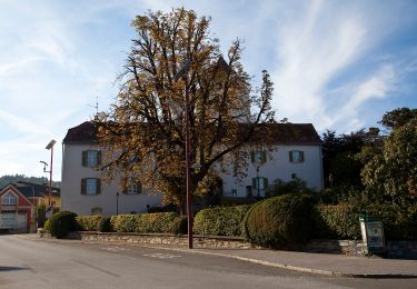
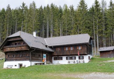
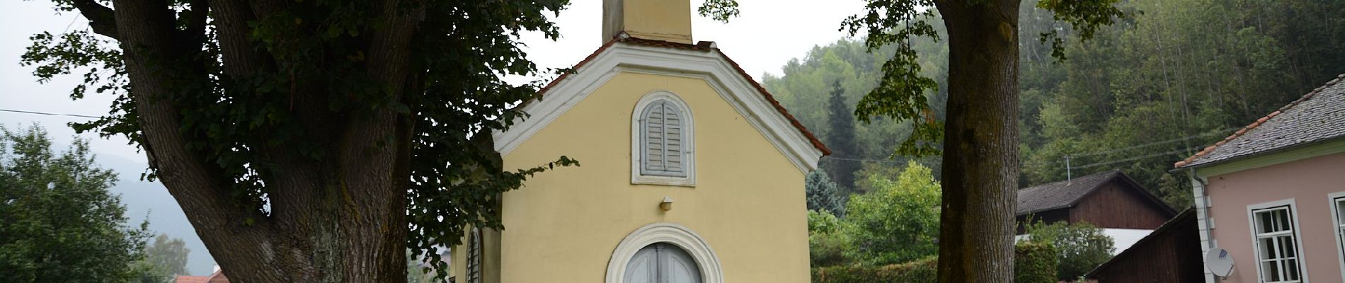
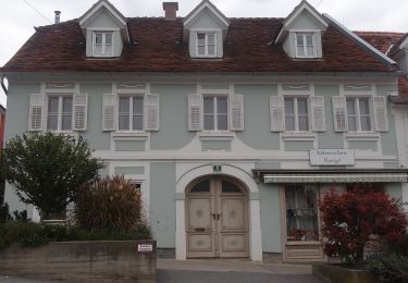
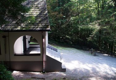
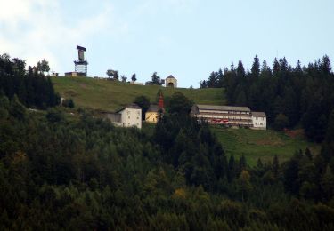
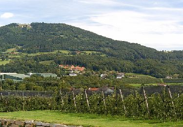
Trail On foot of 3 km to be discovered at Styria, Bezirk Weiz, Thannhausen. This trail is proposed by SityTrail - itinéraires balisés pédestres.
Trail created by Naturfreunde Weiz.
http://wiki.openstreetmap.org/index.php?title=WikiProject_Austria/Wanderwege
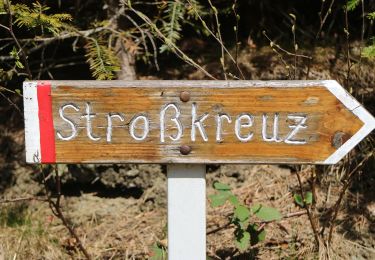
Symbol: Rot-Weiss-Rot 11a


On foot
On foot
On foot
On foot