


3.5 km | 4.1 km-effort


Tous les sentiers balisés d’Europe GUIDE+


FREE GPS app for hiking
 SityTrail
IGN / Geographical institutes
SityTrail World
The world is yours!
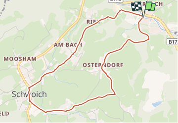
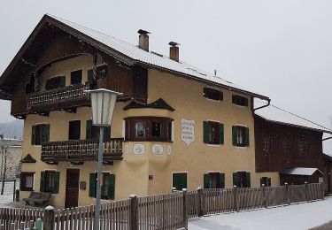
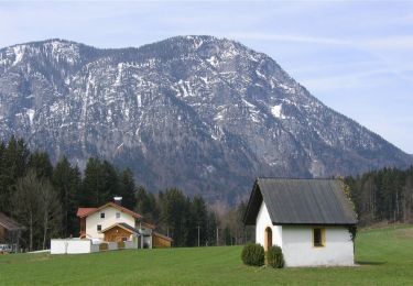
Trail On foot of 5 km to be discovered at Tyrol, Bezirk Kufstein, Gemeinde Schwoich. This trail is proposed by SityTrail - itinéraires balisés pédestres.
Trail created by Kufsteinerland.
Symbol: Gelbe Schilder mit weißem Richtungspfeil und rotem Streifen mit dem Namen "Osterndorfer Runde"


On foot

On foot

On foot
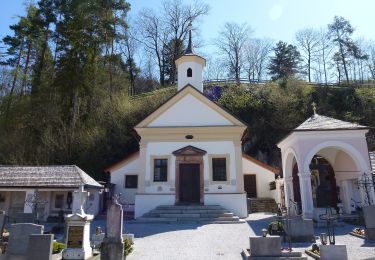
On foot
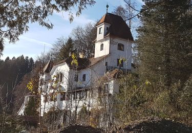
On foot
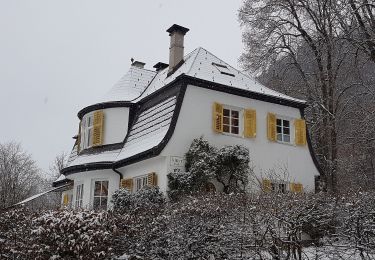
On foot
On foot
On foot

On foot