


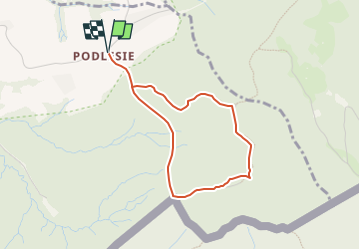

12.7 km | 18 km-effort


Tous les sentiers balisés d’Europe GUIDE+


FREE GPS app for hiking
 SityTrail
IGN / Geographical institutes
SityTrail World
The world is yours!
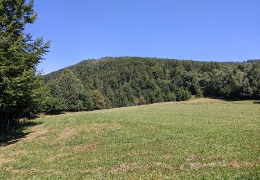
Trail On foot of 3.1 km to be discovered at Silesian Voivodeship, Cieszyn County, Leszna Górna. This trail is proposed by SityTrail - itinéraires balisés pédestres.
Trail created by Urząd Gminy w Goleszowie.
Website: http://www.goleszow.pl/szlak-partyzancki

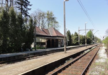
On foot
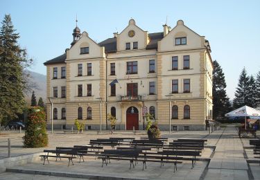
On foot

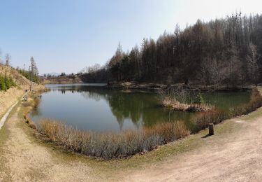
On foot
On foot
On foot
On foot