


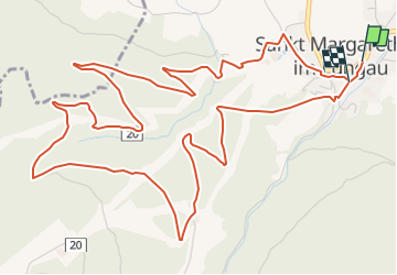

8.1 km | 11.4 km-effort

Tous les sentiers balisés d’Europe GUIDE+


FREE GPS app for hiking
 SityTrail
IGN / Geographical institutes
SityTrail World
The world is yours!
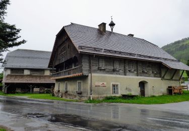
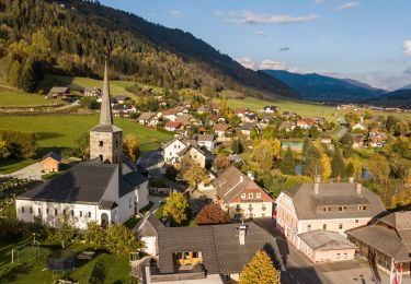
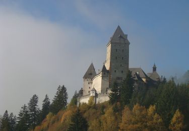
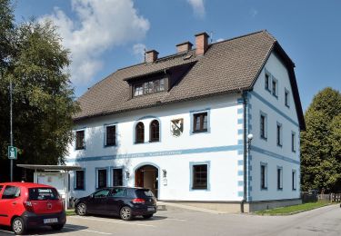
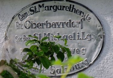
Trail On foot of 7.9 km to be discovered at Salzburg, Bezirk Tamsweg, Sankt Margarethen im Lungau. This trail is proposed by SityTrail - itinéraires balisés pédestres.
Trail created by TVB St. Margarethen im Lungau.
Symbol: rot-weiß-rot 83


On foot
On foot
On foot

On foot
On foot
On foot
On foot
On foot

On foot