


3.5 km | 3.8 km-effort


Tous les sentiers balisés d’Europe GUIDE+


FREE GPS app for hiking
 SityTrail
IGN / Geographical institutes
SityTrail World
The world is yours!
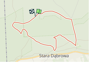
Trail On foot of 4.6 km to be discovered at Masovian Voivodeship, Nowy Dwór Mazowiecki County, Stara Dąbrowa. This trail is proposed by SityTrail - itinéraires balisés pédestres.
Trail created by Kampinoski Park Narodowy.
Symbol: biały kwadrat przekreślony na zielono
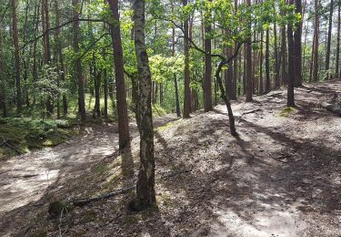
On foot
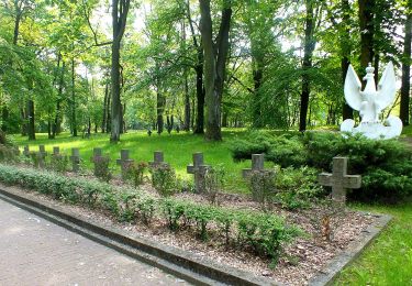
On foot

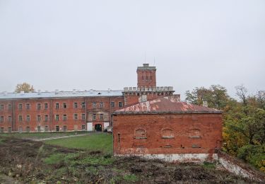
On foot
On foot

On foot

On foot