


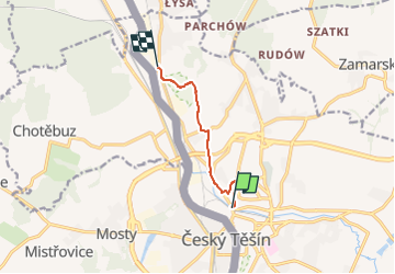

5.9 km | 6.6 km-effort

Tous les sentiers balisés d’Europe GUIDE+


FREE GPS app for hiking
 SityTrail
IGN / Geographical institutes
SityTrail World
The world is yours!
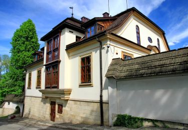
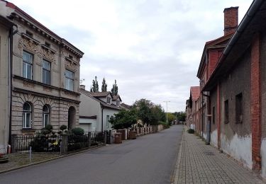
Trail On foot of 5.2 km to be discovered at Silesian Voivodeship, Cieszyn County. This trail is proposed by SityTrail - itinéraires balisés pédestres.
Oficjalny serwis informacyjny miasta Cieszyn. Wiadomości, kalendarium imprez, wydarzenia sportowe, turystyka, kultura i edukacja.
Website: http://www.cieszyn.pl/?p=categoriesShow&iCategory=323


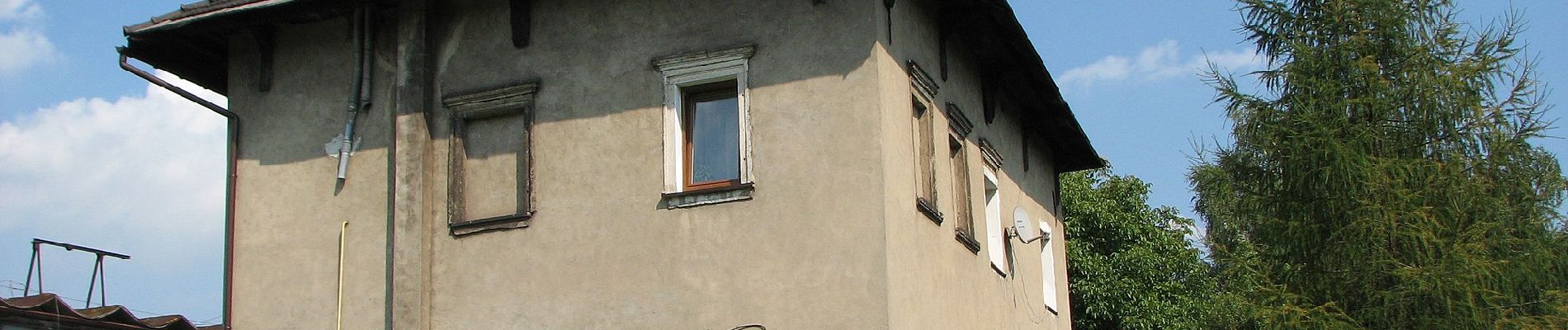
On foot
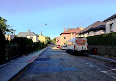
On foot
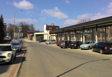
On foot
On foot
On foot
On foot