18.8 km | 34 km-effort
st_ny0915
My Switzerland
Optez pour le retour à la nature GUIDE+
Length
15.1 km
Max alt
2553 m
Uphill gradient
1212 m
Km-Effort
31 km
Min alt
1944 m
Downhill gradient
1198 m
Boucle
No
Creation date :
2014-12-10 00:00:00.0
Updated on :
2014-12-10 00:00:00.0
5h09
Difficulty : Unknown
FREE GPS app for hiking
About
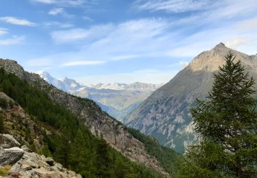
Trail Walking of 15.1 km to be discovered at Valais/Wallis, Visp, Randa. This trail is proposed by My Switzerland.
Positioning
Country:
Switzerland
Region :
Valais/Wallis
Department/Province :
Visp
Municipality :
Randa
Location:
Unknown
Start:(Dec)
Start:(UTM)
407725 ; 5106452 (32T) N.
Comments
Trails nearby
CHX ZRMT Étape 10 de Rwanda à Zermatt
Walking
Medium
Randa,
Valais/Wallis,
Visp,
Switzerland
18.5 km | 37 km-effort
6h 9min
No
Dom
Other activity
Very easy
Randa,
Valais/Wallis,
Visp,
Switzerland
9.9 km | 44 km-effort
Unknown
No
2024-09-03_14h09m17_t8979743_arigscheis (nr. 41)
sport
Very easy
Täsch,
Valais/Wallis,
Visp,
Switzerland
9.4 km | 21 km-effort
Unknown
Yes
Randa - Pont suspendu Charles Kuonen
Walking
Difficult
Randa,
Valais/Wallis,
Visp,
Switzerland
8.4 km | 19.2 km-effort
5h 21min
Yes
Zermatt - stelisee sans télécabines
Walking
Very difficult
Randa,
Valais/Wallis,
Visp,
Switzerland
28 km | 46 km-effort
10h 31min
Yes
Pont Suspendu Randa
Walking
Very difficult
Randa,
Valais/Wallis,
Visp,
Switzerland
9.1 km | 23 km-effort
5h 8min
No