


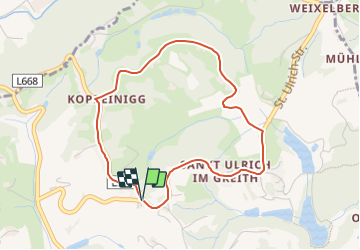

10.1 km | 14.6 km-effort

Tous les sentiers balisés d’Europe GUIDE+


FREE GPS app for hiking
 SityTrail
IGN / Geographical institutes
SityTrail World
The world is yours!
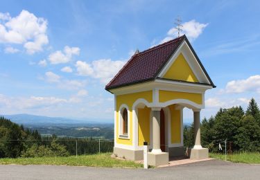
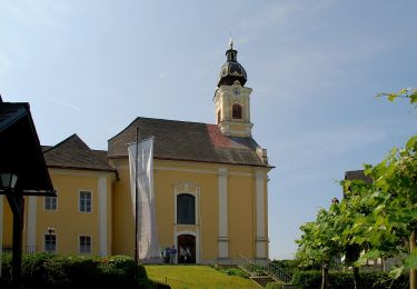
Trail On foot of 3.9 km to be discovered at Styria, Bezirk Deutschlandsberg, Sankt Martin im Sulmtal. This trail is proposed by SityTrail - itinéraires balisés pédestres.
Symbol: Blaues Blatt auf weißen Grund

On foot
On foot
On foot
On foot

On foot

On foot