


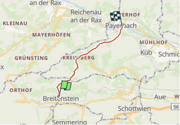

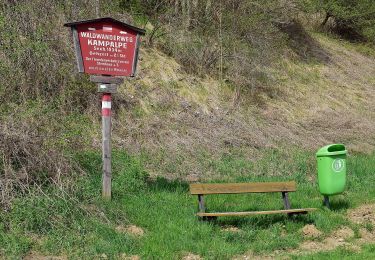
3.3 km | 6.4 km-effort


Tous les sentiers balisés d’Europe GUIDE+


FREE GPS app for hiking
 SityTrail
IGN / Geographical institutes
SityTrail World
The world is yours!
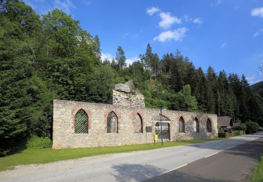
Trail On foot of 6.1 km to be discovered at Lower Austria, Bezirk Neunkirchen, Gemeinde Breitenstein. This trail is proposed by SityTrail - itinéraires balisés pédestres.
Der ÖTK gilt als Pionier des Fremdenverkehrs. Heute ist der ÖTK mit über 360 Kursen und geführten Touren in 50 Freizeitsportarten der größte Anbieter im Outdoor-Segment in Österreich.
Website: https://www.oetk.at


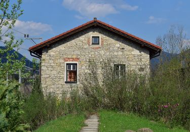
On foot
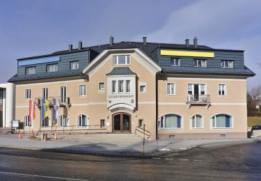
On foot
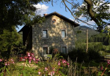
On foot
On foot
On foot
On foot
On foot
On foot
On foot