


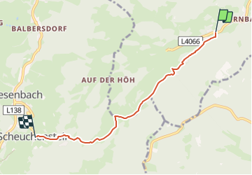

5.7 km | 8.4 km-effort


Tous les sentiers balisés d’Europe GUIDE+


FREE GPS app for hiking
 SityTrail
IGN / Geographical institutes
SityTrail World
The world is yours!
Trail On foot of 4.7 km to be discovered at Lower Austria, Bezirk Wiener Neustadt, Gemeinde Waldegg. This trail is proposed by SityTrail - itinéraires balisés pédestres.
Trail created by Österreichischer Touristenklub, Sektion Wiener Neustadt.
Symbol: roter, waagrechter Balken
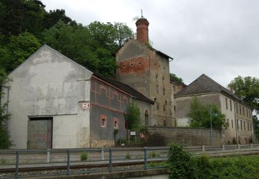
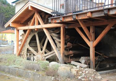
 - Klamm - Scheuchenstein - Photo 1")
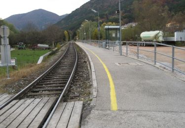
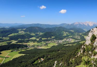
 - Klamm - Scheuchenstein - Photo 2")
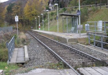
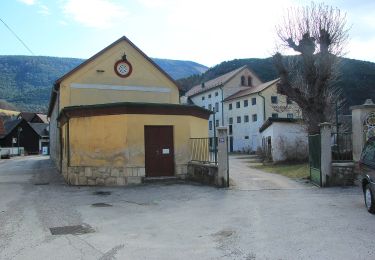
 - Klamm - Scheuchenstein - Photo 3")
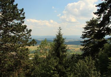
 - Klamm - Scheuchenstein - Photo 4")
 - Klamm - Scheuchenstein - Photo 5")
 - Klamm - Scheuchenstein - Photo 6")
 - Klamm - Scheuchenstein - Photo 7")
 - Klamm - Scheuchenstein - Photo 8")
 - Klamm - Scheuchenstein - Photo 9")
 - Klamm - Scheuchenstein - Photo 10")
On foot

On foot
On foot
On foot
On foot
On foot
On foot

On foot
On foot