


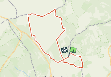


16.7 km | 22 km-effort

Randonnez sur et autour des GR ® wallons (Sentiers de Grande Randonnée). PRO


FREE GPS app for hiking
 SityTrail
IGN / Geographical institutes
SityTrail World
The world is yours!
Trail Walking of 17.4 km to be discovered at Wallonia, Liège, Waimes. This trail is proposed by GR Rando.
Cette randonnée parcourt un décor exceptionnel : elle vous fait goûter à l’ambiance particulière du plateau des Hautes Fagnes par la découverte des endroits emblématiques tels que la Fagne wallonne, le Noir Flohay, le Geitzbush, la vallée de la Helle et la réserve naturelle de la Petite Rour.
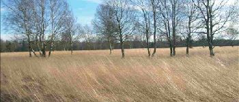
 - Photo 1")
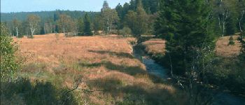
 - Photo 2")

Walking

Walking


Walking

Walking
Walking

Walking

Walking

Walking