


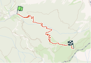

3.7 km | 9.7 km-effort

Tous les sentiers balisés d’Europe GUIDE+


FREE GPS app for hiking
 SityTrail
IGN / Geographical institutes
SityTrail World
The world is yours!
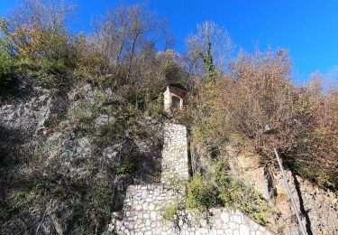
Trail On foot of 3.2 km to be discovered at Lombardy, Bergamo, Piazzatorre. This trail is proposed by SityTrail - itinéraires balisés pédestres.
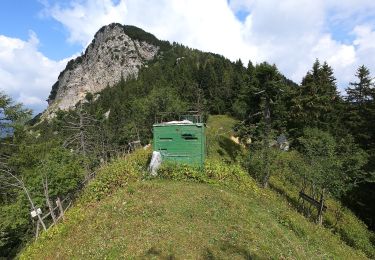
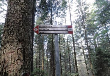
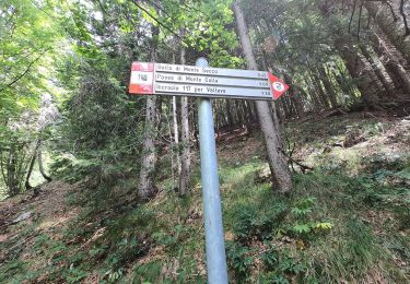
Dalla frazione Piazzo di Piazzatorre (1112 m) il sentiero sale sul versante sinistro della valle di Torcola (destra orografica) seguendo per buona parte la strada forestale. In zona Piani Bassi attraversa la valle e continua in salita con tornanti raggiungendo la Casera (1486 m). Proseguendo con direzione est incrocia il sentiero 119 (a quota 1700 m circa).
Website: http://geoportale.caibergamo.it/it/sentiero/121
 - Torcola Vaga (sentiero 119) - Photo 1")
On foot
On foot
On foot
On foot
On foot
On foot
On foot
On foot
On foot