


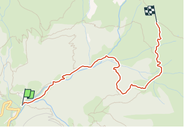

5.6 km | 13.8 km-effort

Tous les sentiers balisés d’Europe GUIDE+


FREE GPS app for hiking
 SityTrail
IGN / Geographical institutes
SityTrail World
The world is yours!
Trail On foot of 3.7 km to be discovered at Lombardy, Bergamo, Mezzoldo. This trail is proposed by SityTrail - itinéraires balisés pédestres.
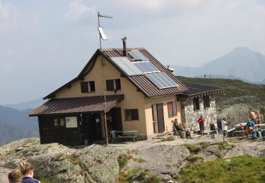
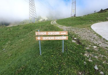
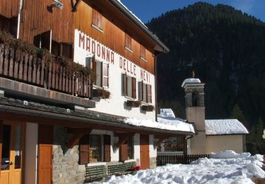
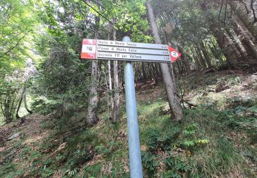
Dal rifugio Madonna delle Nevi (1336 m), sopra Mezzoldo, si risale in prossimità del fiume Brembo in direzione nord-est arrivando alla località Prà del Muto (1488 m). Si abbandona il fondovalle e si sale nel bosco in direzione sud, giungendo poi alla casera Siltri (1730 m) immettendosi così nel sentiero 111A (Sentiero delle Casere) per poi procedere in comune con esso per un
Website: http://geoportale.caibergamo.it/it/sentiero/111
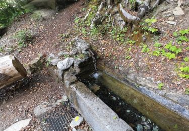
 - Forcella Rossa - Photo 1")
 - Forcella Rossa - Photo 2")
 - Forcella Rossa - Photo 3")
 - Forcella Rossa - Photo 4")
 - Forcella Rossa - Photo 5")
 - Forcella Rossa - Photo 6")
 - Forcella Rossa - Photo 7")
 - Forcella Rossa - Photo 8")
 - Forcella Rossa - Photo 9")
 - Forcella Rossa - Photo 10")
On foot
On foot
On foot
On foot
On foot
On foot
On foot