


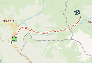

3.7 km | 9.7 km-effort

Tous les sentiers balisés d’Europe GUIDE+


FREE GPS app for hiking
 SityTrail
IGN / Geographical institutes
SityTrail World
The world is yours!
Trail On foot of 5.6 km to be discovered at Lombardy, Bergamo, Mezzoldo. This trail is proposed by SityTrail - itinéraires balisés pédestres.
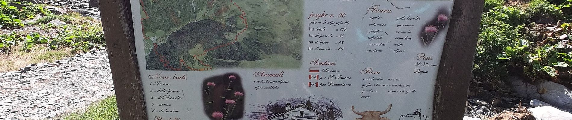
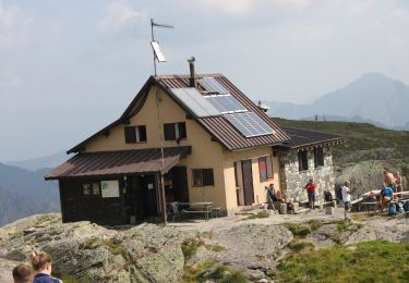
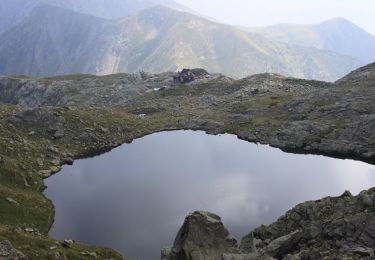
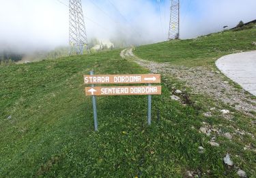
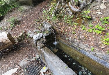
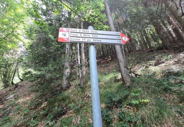
Dalla località Ponte dell'Acqua (1270 m circa) sopra Mezzoldo si imbocca la mulattiera che sale a destra nel bosco (lato sinistro orografico della valle). Raggiunta la val Terzera si guadagna quota con tornanti e, dopo essere transitati nei pressi di una cascata, si raggiunge la baita La Casera (1604 m). Si continua a risalire la valle attraverso i pascoli, incrociando il
Website: http://geoportale.caibergamo.it/it/sentiero/115
 - Passo di S. Simone - Photo 1")
 - Passo di S. Simone - Photo 2")
 - Passo di S. Simone - Photo 3")
 - Passo di S. Simone - Photo 4")
 - Passo di S. Simone - Photo 5")
 - Passo di S. Simone - Photo 6")
 - Passo di S. Simone - Photo 7")
 - Passo di S. Simone - Photo 8")
 - Passo di S. Simone - Photo 9")
 - Passo di S. Simone - Photo 10")
On foot
On foot
On foot
On foot
On foot
On foot
On foot