


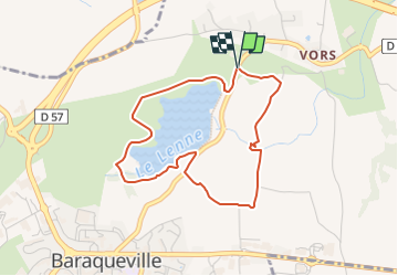

6.4 km | 8.5 km-effort

Tous les sentiers balisés d’Europe GUIDE+


FREE GPS app for hiking
 SityTrail
IGN / Geographical institutes
SityTrail World
The world is yours!
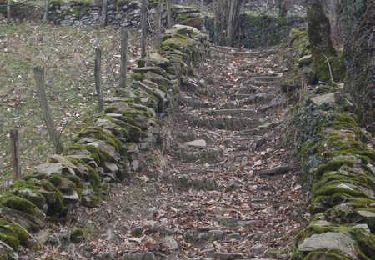
Trail On foot of 4 km to be discovered at Occitania, Aveyron, Baraqueville. This trail is proposed by SityTrail - itinéraires balisés pédestres.
Le Ségala Au Pays des Cent vallées - 5ème édition Collection : Les belles balades de l'Aveyron Ce guide vous propose de découvrir le Ségala à trav
Website: http://www.baraqueville.fr/cadre-de-vie/tourisme/promenade


On foot
On foot

Walking
Walking

Other activity
Nordic walking
Nordic walking
Nordic walking
Nordic walking