![](/images/other/stat-length.png)
![Trail On foot Eaux-Bonnes - Les thermes - Photo](https://media.geolcdn.com/t/1900/400/65015aca-92a7-4f38-9cb0-181d1c21acb1.jpeg&format=pjpeg&maxdim=2)
Les thermes
SityTrail - itinéraires balisés pédestres
Tous les sentiers balisés d’Europe GUIDE+
![Length](/images/other/stat-length.png)
![Max alt](https://static1.geolcdn.com/siteimages/upload/files/1508320355ic_sort_altitude_max_24dp.png)
![Uphill gradient](https://static1.geolcdn.com/siteimages/upload/files/1508320355ic_sort_den_pos_24dp.png)
![Km-Effort](/images/other/stat-length.png)
![Min alt](https://static1.geolcdn.com/siteimages/upload/files/1508320355ic_sort_altitude_min_24dp.png)
![Downhill gradient](https://static1.geolcdn.com/siteimages/upload/files/1508320355ic_sort_den_neg_24dp.png)
![Boucle](https://static1.geolcdn.com/siteimages/upload/files/16400158638029165_repeat_loop_refresh_sync_direction_icon.png)
![On foot](https://static1.geolcdn.com/sitytour/trail-icons/100.png)
1h20
Difficulty : Easy
![Scan this QR Code to open this trail in the SityTrail application](https://capi.geolives.com/qq0zvz2zws4bq2lad0pu/sitytour/trails/3124359/qr.png?size=200)
FREE GPS app for hiking
About
Trail On foot of 3.6 km to be discovered at New Aquitaine, Pyrénées-Atlantiques, Eaux-Bonnes. This trail is proposed by SityTrail - itinéraires balisés pédestres.
Description
Trail created by Communauté de Communes de la Vallée d'Ossau.
Symbol: Trait jaune
Website: https://www.valleedossau-tourisme.com/randonnees/pedestre/circuits-a-la-journee/
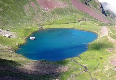
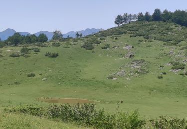
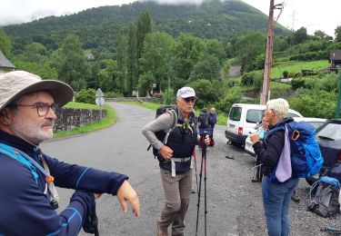
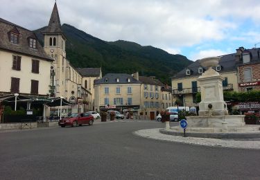
Photos
![Trail On foot Eaux-Bonnes - Les thermes - Photo 1 Trail On foot Eaux-Bonnes - Les thermes - Photo 1](https://media.geolcdn.com/t/170/100/021739bb-1afc-4680-978f-89e51791104f.jpeg&format=jpg&maxdim=2)
![Trail On foot Eaux-Bonnes - Les thermes - Photo 2 Trail On foot Eaux-Bonnes - Les thermes - Photo 2](https://media.geolcdn.com/t/170/100/7bf1bf78-ab37-469c-a163-0b7814b861f1.jpeg&format=jpg&maxdim=2)
![Trail On foot Eaux-Bonnes - Les thermes - Photo 3 Trail On foot Eaux-Bonnes - Les thermes - Photo 3](https://media.geolcdn.com/t/170/100/d093809d-0b44-4498-a8d6-51e9a7d476e9.jpeg&format=jpg&maxdim=2)
![Trail On foot Eaux-Bonnes - Les thermes - Photo 4 Trail On foot Eaux-Bonnes - Les thermes - Photo 4](https://media.geolcdn.com/t/170/100/de92049a-941b-4e82-9e86-97c21be2c640.jpeg&format=jpg&maxdim=2)
Trail On foot Eaux-Bonnes - Les thermes - Photo 5
" data-pinterest-text="Pin it" data-tweet-text="share on twitter" data-facebook-share-url="https://www.sitytrail.com/en/trails/3124359-eauxxbonnes--les-thermes/?photo=4#lg=1&slide=4" data-twitter-share-url="https://www.sitytrail.com/en/trails/3124359-eauxxbonnes--les-thermes/?photo=4#lg=1&slide=4" data-googleplus-share-url="https://www.sitytrail.com/en/trails/3124359-eauxxbonnes--les-thermes/?photo=4#lg=1&slide=4" data-pinterest-share-url="https://www.sitytrail.com/en/trails/3124359-eauxxbonnes--les-thermes/?photo=4#lg=1&slide=4">![Trail On foot Eaux-Bonnes - Les thermes - Photo 5 Trail On foot Eaux-Bonnes - Les thermes - Photo 5](https://media.geolcdn.com/t/170/100/65015aca-92a7-4f38-9cb0-181d1c21acb1.jpeg&format=jpg&maxdim=2)
![Trail On foot Eaux-Bonnes - Les thermes - Photo 6 Trail On foot Eaux-Bonnes - Les thermes - Photo 6](https://media.geolcdn.com/t/170/100/e5233840-5822-420f-a8f4-0acaa9313273.jpeg&format=jpg&maxdim=2)
![Trail On foot Eaux-Bonnes - Les thermes - Photo 7 Trail On foot Eaux-Bonnes - Les thermes - Photo 7](https://media.geolcdn.com/t/170/100/63bb00e0-ccc2-495d-ad8e-f099ebe233d4.jpeg&format=jpg&maxdim=2)
Positioning
Comments
Trails nearby
![Trail Walking Béost - Behost - Photo](https://media.geolcdn.com/t/375/260/ext.jpg?maxdim=2&url=https%3A%2F%2Fservices.sitytrail.com%2FGeolivesWS%2FDownloadMedia.ashx%3FTrailID%3D970820%26Media%3Dfix__20180521114303.jpg)
![Walking Walking](https://static1.geolcdn.com/sitytour/trail-icons/101.png)
Walking
![](/images/other/stat-length.png)
![](https://static1.geolcdn.com/siteimages/upload/files/16400158638029165_repeat_loop_refresh_sync_direction_icon.png)
![Trail Walking Eaux-Bonnes - Le Pic Sanctus 2482m depuis Gourette - Photo](https://media.geolcdn.com/t/375/260/ext.jpg?maxdim=2&url=https%3A%2F%2Fservices.sitytrail.com%2FGeolivesWS%2FDownloadMedia.ashx%3FTrailID%3D103539%26Media%3D5754_1.jpg)
![Walking Walking](https://static1.geolcdn.com/sitytour/trail-icons/101.png)
Walking
![](/images/other/stat-length.png)
![](https://static1.geolcdn.com/siteimages/upload/files/16400158638029165_repeat_loop_refresh_sync_direction_icon.png)
![Trail Running Eaux-Bonnes - GOURETTE la cabane de Bouy](https://media.geolcdn.com/t/375/260/ef1c0c9e-1794-4cec-b3c6-ee6194b0829e.jpg&format=jpg&maxdim=2)
![Running Running](https://static1.geolcdn.com/sitytour/trail-icons/103.png)
Running
![](/images/other/stat-length.png)
![](https://static1.geolcdn.com/siteimages/upload/files/16400158638029165_repeat_loop_refresh_sync_direction_icon.png)
![Trail sport Eaux-Bonnes - 2023-07-17_22h07m36_Balisage - Gourette Cabane de cezy - Photo](https://media.geolcdn.com/t/375/260/ext.jpg?maxdim=2&url=https%3A%2F%2Fsecurestorage.geolives.com%2Fsitytour%2Ftrail-bg%2Fdefault.jpg)
sport
![](/images/other/stat-length.png)
![](https://static1.geolcdn.com/siteimages/upload/files/16400158638029165_repeat_loop_refresh_sync_direction_icon.png)
![Trail Walking Laruns - LARUNS le tour du valentin G3](https://media.geolcdn.com/t/375/260/ab9ea3e2-49dc-47a2-9b64-4673b336581b.jpg&format=jpg&maxdim=2)
![Walking Walking](https://static1.geolcdn.com/sitytour/trail-icons/101.png)
Walking
![](/images/other/stat-length.png)
![](https://static1.geolcdn.com/siteimages/upload/files/16400158638029165_repeat_loop_refresh_sync_direction_icon.png)
![Trail On foot Eaux-Bonnes - La promenade horizontale - Photo](https://media.geolcdn.com/t/375/260/65015aca-92a7-4f38-9cb0-181d1c21acb1.jpeg&format=jpg&maxdim=2)
![On foot On foot](https://static1.geolcdn.com/sitytour/trail-icons/100.png)
On foot
![](/images/other/stat-length.png)
![](https://static1.geolcdn.com/siteimages/upload/files/16400158638029165_repeat_loop_refresh_sync_direction_icon.png)
![Trail On foot Laruns - L'eau - Photo](https://media.geolcdn.com/t/375/260/63c634b8-343f-473c-b626-d31545ed6396.jpeg&format=jpg&maxdim=2)
![On foot On foot](https://static1.geolcdn.com/sitytour/trail-icons/100.png)
On foot
![](/images/other/stat-length.png)
![](https://static1.geolcdn.com/siteimages/upload/files/16400158638029165_repeat_loop_refresh_sync_direction_icon.png)
![Trail On foot Béost - Les crêtes d’Andreyt - Photo](https://media.geolcdn.com/t/375/260/6e4e7f92-4044-4711-ad6d-19596eb81d86.jpeg&format=jpg&maxdim=2)
![On foot On foot](https://static1.geolcdn.com/sitytour/trail-icons/100.png)
On foot
![](/images/other/stat-length.png)
![](https://static1.geolcdn.com/siteimages/upload/files/16400158638029165_repeat_loop_refresh_sync_direction_icon.png)
![Trail On foot Eaux-Bonnes - La montagne verte - Photo](https://media.geolcdn.com/t/375/260/065373cf-29fb-4e68-99c0-c8817fd47c70.jpeg&format=jpg&maxdim=2)
![On foot On foot](https://static1.geolcdn.com/sitytour/trail-icons/100.png)
On foot
![](/images/other/stat-length.png)
![](https://static1.geolcdn.com/siteimages/upload/files/16400158638029165_repeat_loop_refresh_sync_direction_icon.png)