

Le Sentier des Trois Clochers
SityTrail - itinéraires balisés pédestres
Tous les sentiers balisés d’Europe GUIDE+

Length
6.6 km

Max alt
525 m

Uphill gradient
167 m

Km-Effort
8.8 km

Min alt
372 m

Downhill gradient
164 m
Boucle
Yes
Signpost
Creation date :
2022-02-15 19:06:51.983
Updated on :
2022-03-02 22:51:47.613
2h00
Difficulty : Easy

FREE GPS app for hiking
About
Trail On foot of 6.6 km to be discovered at Auvergne-Rhône-Alpes, Puy-de-Dôme, Gimeaux. This trail is proposed by SityTrail - itinéraires balisés pédestres.
Description
Trail created by CD63.
Positioning
Country:
France
Region :
Auvergne-Rhône-Alpes
Department/Province :
Puy-de-Dôme
Municipality :
Gimeaux
Location:
Unknown
Start:(Dec)
Start:(UTM)
507056 ; 5089104 (31T) N.
Comments
Trails nearby
La Vallee des Prades


On foot
Easy
(1)
Loubeyrat,
Auvergne-Rhône-Alpes,
Puy-de-Dôme,
France

11.1 km | 15.6 km-effort
3h 33min
Yes
Le roc du diable - Prompsat


Walking
Medium
(1)
Loubeyrat,
Auvergne-Rhône-Alpes,
Puy-de-Dôme,
France

9.5 km | 13.4 km-effort
2h 20min
Yes
Teilhede


Walking
Easy
(1)
Teilhède,
Auvergne-Rhône-Alpes,
Puy-de-Dôme,
France

6.5 km | 8.7 km-effort
1h 38min
Yes
Chemin de Fontête


Walking
Easy
(2)
Gimeaux,
Auvergne-Rhône-Alpes,
Puy-de-Dôme,
France

8.6 km | 11.9 km-effort
2h 6min
Yes
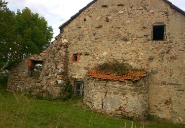
Les Briffons-Bois d'Agnat


Walking
Easy
(2)
Châtel-Guyon,
Auvergne-Rhône-Alpes,
Puy-de-Dôme,
France

10.6 km | 14.8 km-effort
3h 14min
Yes
Chazeron sans souci


Walking
Easy
(1)
Châtel-Guyon,
Auvergne-Rhône-Alpes,
Puy-de-Dôme,
France

6.6 km | 9.7 km-effort
1h 45min
Yes
Boucle de Rochepradière en passant par Douhady


Walking
Easy
(1)
Châtel-Guyon,
Auvergne-Rhône-Alpes,
Puy-de-Dôme,
France

6.7 km | 9.7 km-effort
2h 6min
Yes
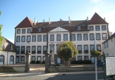
La Pierre Branlante


On foot
Easy
Combronde,
Auvergne-Rhône-Alpes,
Puy-de-Dôme,
France

7.7 km | 11 km-effort
2h 29min
No

La Vallée du Sans-Souci


On foot
Easy
Châtel-Guyon,
Auvergne-Rhône-Alpes,
Puy-de-Dôme,
France

4.4 km | 6.5 km-effort
1h 28min
Yes


 SityTrail


