


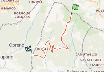

4.8 km | 7.7 km-effort

Tous les sentiers balisés d’Europe GUIDE+


FREE GPS app for hiking
 SityTrail
IGN / Geographical institutes
SityTrail World
The world is yours!
Trail On foot of 5.7 km to be discovered at Lombardy, Bergamo, Roncola. This trail is proposed by SityTrail - itinéraires balisés pédestres.
L'itinerario collega il Parco Oasi sito nel comune di Barzana con la vetta del Monte Linzone passando per alcune frazioni del comune di Palazzago. Le principali località toccate dal sentiero sono: Barzana, Montebello, La Vena, Picco Alto, Valmora, Burligo, Colle Pedrino, Colle Albenza e Linzone. La tipologia di sentiero è nella prima parte collinare e dolce nei dislivelli (da
Website: http://geoportale.caibergamo.it/it/sentiero/861
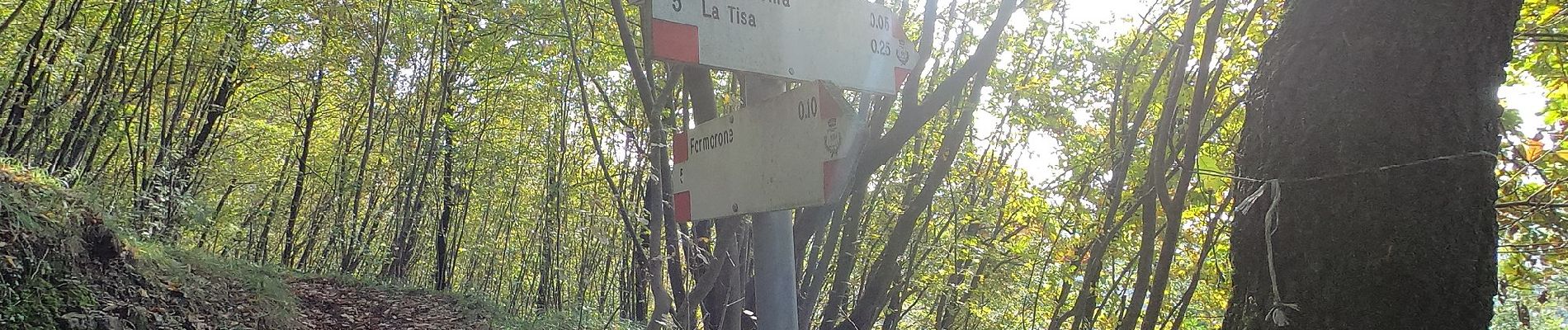
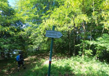
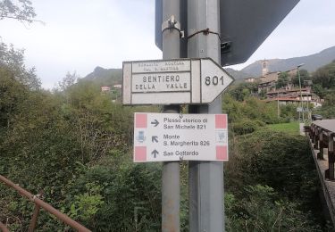
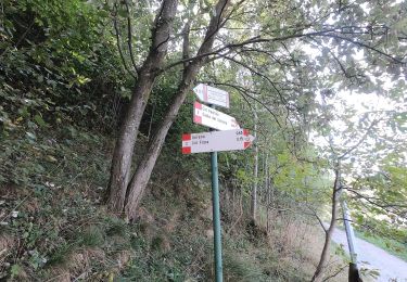
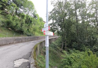
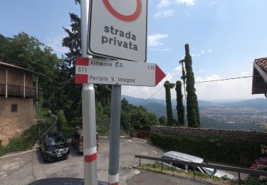
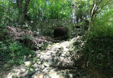
 - Photo 1")
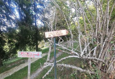
 - Photo 2")
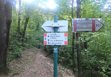
 - Photo 3")
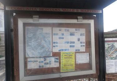
 - Photo 4")
 - Photo 5")
 - Photo 6")
 - Photo 7")
 - Photo 8")
 - Photo 9")
 - Photo 10")
On foot
On foot
On foot
On foot
On foot
On foot
On foot
On foot