Trail On foot Valleve - Sentiero 117: Valleve (fraz. Valrobà) - Forcolino di Torcola - Photo

Sentiero 117: Valleve (fraz. Valrobà) - Forcolino di Torcola

Tous les sentiers balisés d’Europe PRO

© OpenStreetMap contributors
Length
Length
4.5 km
Max alt
Max alt
1847 m
Uphill gradient
Uphill gradient
717 m
Km-Effort
Km-Effort  
11.8 km
Min alt
Min alt
1147 m
Downhill gradient
Downhill gradient
31 m
Boucle
Boucle
No
Signpost
Signpost
Creation date :
2022-02-15 19:00:14.228
Updated on :
2022-03-01 23:30:37.629

(0 Reviews)

On foot
On foot
2h41
Difficulty : Easy

Scan this QR Code to open this trail in the SityTrail application

FREE GPS app for hiking

Logo SityTrail SityTrail

IGN / Geographical institutes

Download SityTrail from the App Store Download SityTrail from Google Play

Logo SityTrail SityTrail World

The world is yours!

Download SityTrail from the App Store Download SityTrail from Google Play Download SityTrail on Huawei AppGallery

About

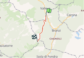
Trail On foot of 4.5 km to be discovered at Lombardy, Bergamo, Valleve. This trail is proposed by SityTrail - itinéraires balisés pédestres.

Description

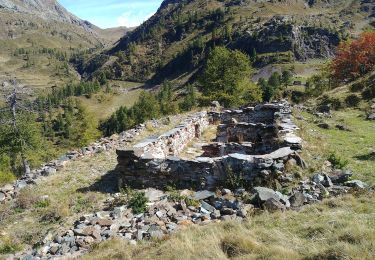
Poco praticato dagli escursionisti, merita di essere percorso in ogni stagione dell'anno grazie alla vista che sa regalare una volta giunti in quota.Naturale prosecuzione del sentiero 117A in salita da Branzi, può essere raggiunto anche partendo dalla frazione Valrobà di Valleve, percorrendo la strada agro-silvo-pastorale che conduce verso Branzi e la frazione Prati (Branzi).

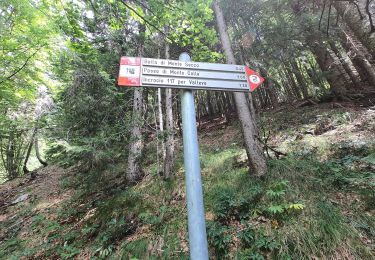
Website: http://geoportale.caibergamo.it/it/sentiero/117
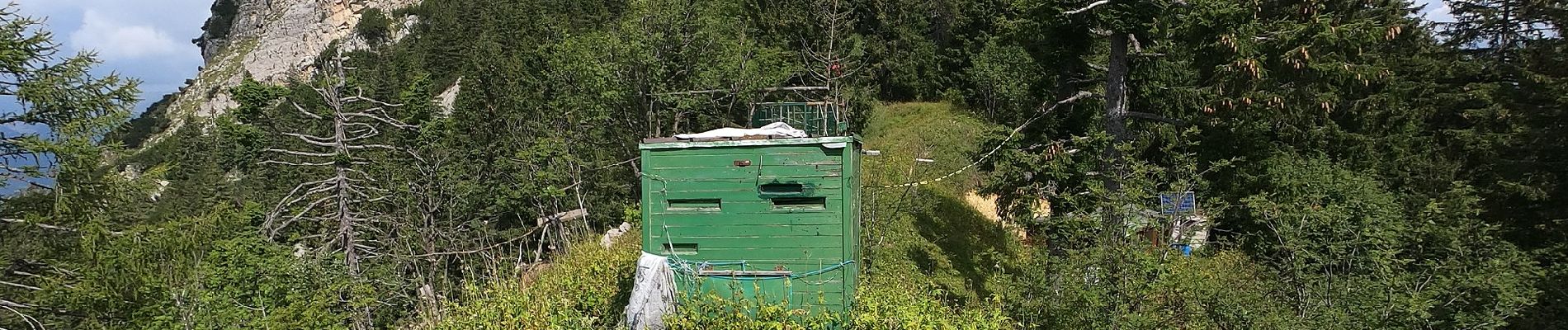
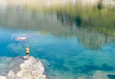
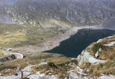
Photos

Positioning

Country:
Italy
Region :
Lombardy
Department/Province :
Bergamo
Municipality :
Valleve
Location:
Unknown
Start:(UTM)
557628 ; 5096593 (32T) N.

Trails nearby

Trail On foot Branzi - Rifugio Laghi Gemelli - Passo d'Aviasco - Photo
On foot
PRO

On foot

Easy
Branzi, Lombardy, Bergamo, Italy
3.9 km | 7.9 km-effort
1h 48min
No
Trail On foot Foppolo - Sentiero delle Orobie Occidentali - Tappa 5 - Photo
On foot
PRO

On foot

Medium
Foppolo, Lombardy, Bergamo, Italy
13.3 km | 25 km-effort
5h 43min
No
Trail On foot Carona - IT-207 - Photo
On foot
PRO

On foot

Easy
Carona, Lombardy, Bergamo, Italy
5.3 km | 8 km-effort
1h 48min
No
Trail On foot Foppolo - IT-204 - Photo
On foot
PRO

On foot

Easy
Foppolo, Lombardy, Bergamo, Italy
4.5 km | 6.3 km-effort
1h 25min
No
Trail On foot Valleve - IT-201 - Photo
On foot
PRO

On foot

Easy
Valleve, Lombardy, Bergamo, Italy
4.6 km | 9 km-effort
2h 3min
No
Trail On foot Branzi - Sentiero delle Orobie Orientali - Tappa 3 - Photo
On foot
PRO

On foot

Easy
Branzi, Lombardy, Bergamo, Italy
11.7 km | 19.4 km-effort
4h 24min
No
Trail On foot Branzi - Rifugio Laghi Gemelli - Laghi: Colombo, Becco, Marcio - Rifugio Laghi Gemelli - Photo
On foot
PRO

On foot

Easy
Branzi, Lombardy, Bergamo, Italy
5.9 km | 9.7 km-effort
2h 11min
Yes
Trail On foot Piazzatorre - Sentiero 121: Piazzatorre (Piazzo) - Torcola Vaga (sentiero 119) - Photo
On foot
PRO

On foot

Easy
Piazzatorre, Lombardy, Bergamo, Italy
3.2 km | 9 km-effort
2h 2min
No
Trail On foot Piazzatorre - Sentiero 118: Piazzatorre (Piazzo) - Passo e Casera di Monte Colle - Photo
On foot
PRO

On foot

Easy
Piazzatorre, Lombardy, Bergamo, Italy
3.9 km | 12.4 km-effort
2h 49min
No


Close
My subscriptions