


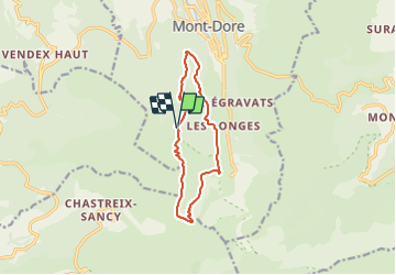


17.7 km | 24 km-effort

Tous les sentiers balisés d’Europe GUIDE+


FREE GPS app for hiking
 SityTrail
IGN / Geographical institutes
SityTrail World
The world is yours!
Trail On foot of 10.8 km to be discovered at Auvergne-Rhône-Alpes, Puy-de-Dôme, Mont-Dore. This trail is proposed by SityTrail - itinéraires balisés pédestres.
Trail created by CD63.


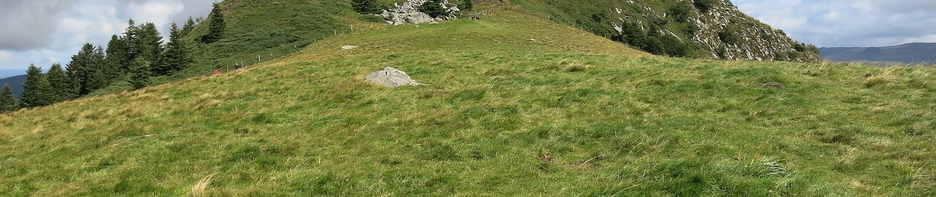
Walking

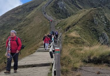
Walking

Walking

Walking

Walking

Walking

Walking

Walking
Walking